UN/LOCODE hub · Barbados
BBSPR

Saint Peter

13.2500°, -59.6167°
2
Transport functions

Transport Functions

Rail
Road
UN/LOCODE

Hub Profile

Region
09
GeoNames

Location

Location of BBSPR
Natural Earth 10m (public domain) · 09 · BBSPR · 13.25, -59.62GoogleOSMYandex

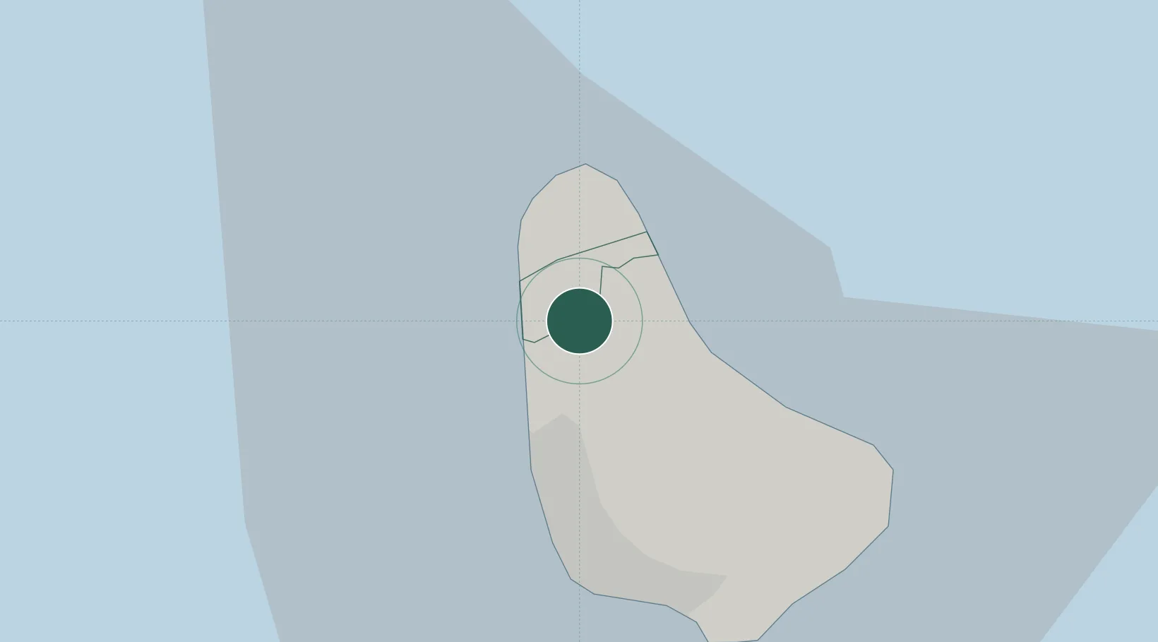
Nearby Logistics Neighbours

Cities
  1. 1Jackson11 km
  2. 2Saint Michael15 km
  3. 3Vieux Fort154 km
  4. 4Georgetown162 km
  5. 5Castries171 km
Nearest neighbours — logibook spatial index (haversine) over the source coordinates
Ports
  1. 1Bridgetown17 km
  2. 2Vieux Fort155 km
  3. 3Grand Cul De Sac Bay172 km
  4. 4Castries172 km
  5. 5Kingstown175 km
Nearest neighbours — logibook spatial index (haversine) over the source coordinates
Airports
  1. 1Grantley Adams International Airport24 km
  2. 2Hewanorra International Airport154 km
  3. 3Argyle International Airport166 km
  4. 4George F. L. Charles Airport172 km
  5. 5Mustique Airport174 km
Nearest neighbours — logibook spatial index (haversine) over the source coordinates
Trade Zones
  1. 1Hewanorra Free Zone (Special Development Zone)154 km
  2. 2Saint Lucia Free Zone155 km
  3. 3Dennery Free Zone (Special Development Zone)165 km
  4. 4Soufriere Free Zone (Special Development Zone)170 km
  5. 5Choc Estate (Special Development Zone)171 km
Nearest neighbours — logibook spatial index (haversine) over the source coordinates
DatabookThe Record of Consolidated Knowledge
Barbados beyond logistics?
Browse databook

All Sources

LocationsUN/LOCODE
UN/LOCODE — free
Portsthe NGA World Port Index
Public domain (US gov)
AirportsOurAirports
Public domain
Trade Zonesthe World Bank SEZ database
CC BY 4.0
Trade ZonesOpen Zone Map
CC BY
← Barbados locations