Channel & Berth Profile
Pilotage, Tugs & Services
Pilotage compulsoryYES
Pilotage availableYES
Pilotage advisableNO
Tug assistanceNO
Salvage tugsNO
Shore powerYES
Potable waterYES
Diesel bunkersYES
MedicalYES
Garbage disposalYES
Facilities & Capabilities
ContainerYES
Ro-RoYES
Liquid bulkYES
Dry bulkYES
Oil terminal—
Break bulkYES
Dry dock—
RepairsNO
BunkeringYES
Rail link—
Dangerous cargo—
ISPS securityYES
Harbour Specifications
Harbour size
Small
Harbour type
Coastal (Natural)
Shelter
Fair
Water body
Caribbean Sea; North Atlantic Ocean
Tidal range
0.1 m
Overhead limit
No
Pilotage
Yes
Liner Connectivity
14.9
PLSCI
Port Liner Shipping Connectivity Index for Kingstown, as published by UNCTAD for the latest available quarter. Higher values indicate stronger scheduled liner-shipping integration.
Shown relative to the highest per-port PLSCI in the dataset (1,657.9).
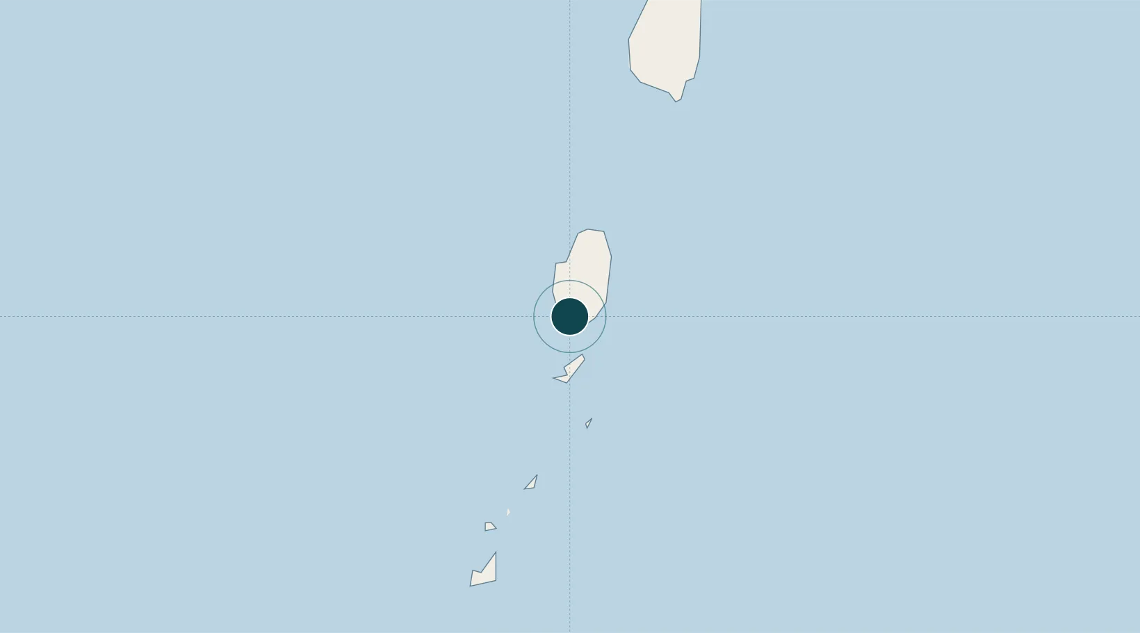
Location
Nearby Logistics Neighbours
Ports
- 1Vieux Fort69 km
- 2Grand Cul De Sac Bay96 km
- 3Castries100 km
- 4St George's135 km
- 5Fort De France162 km
Cities
- 1Campden Park2 km
- 2Port Elizabeth, Bequia17 km
- 3Georgetown18 km
- 4Canouan Island49 km
- 5Vieux Fort71 km
Airports
- 1Argyle International Airport9 km
- 2J F Mitchell Airport18 km
- 3Mustique Airport30 km
- 4Canouan Airport52 km
- 5Union Island International Airport64 km
DatabookThe Record of Consolidated Knowledge
St. Vincent & Grenadines beyond logistics?