Seaport · St. Lucia
Vieux FortLCVIF
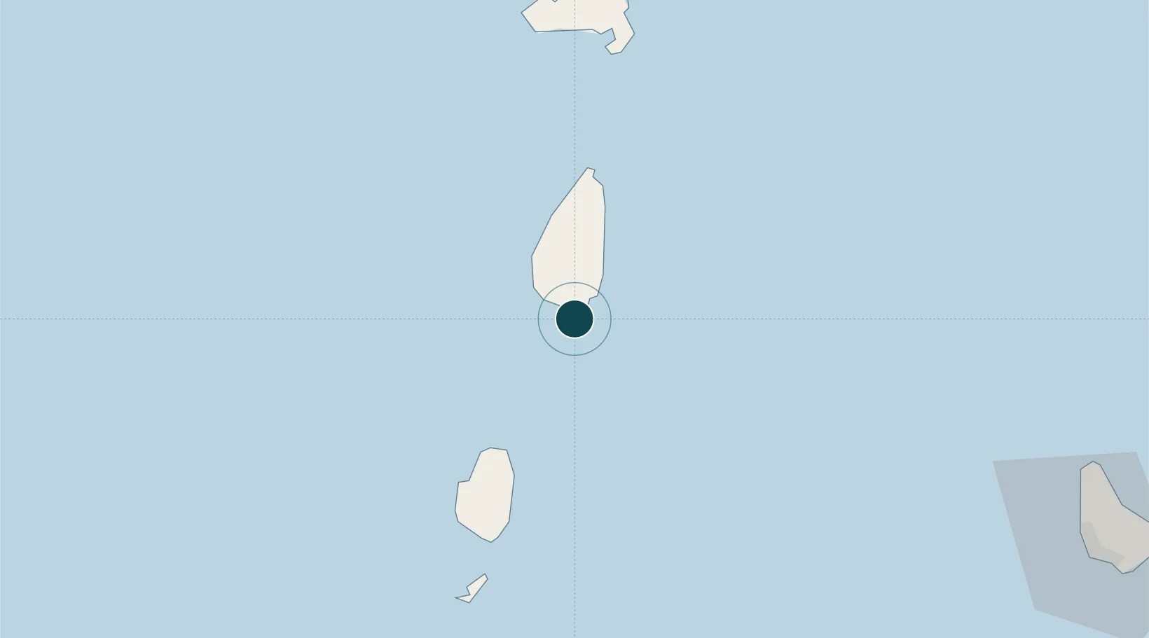
13.7167°, -60.9667°
11.0 m
Channel depth
1
Container terminals
16.0
Port liner connectivity
Channel & Berth Profile
Pilotage, Tugs & Services
Pilotage compulsoryYES
Pilotage availableYES
Tug assistanceYES
Salvage tugsNO
Potable waterYES
MedicalYES
Garbage disposalYES
Facilities & Capabilities
ContainerYES
Ro-RoYES
Liquid bulkYES
Dry bulk—
Oil terminal—
Break bulkYES
Dry dock—
RepairsNO
BunkeringYES
Rail link—
Dangerous cargo—
ISPS securityYES
Harbour Specifications
Harbour size
Very Small
Harbour type
Coastal (Natural)
Shelter
Good
Water body
Caribbean Sea; North Atlantic Ocean
Tidal range
0.3 m
Overhead limit
No
Pilotage
Yes
Liner Connectivity
16
PLSCI
Port Liner Shipping Connectivity Index for Vieux Fort, as published by UNCTAD for the latest available quarter. Higher values indicate stronger scheduled liner-shipping integration.
Shown relative to the highest per-port PLSCI in the dataset (1,657.9).
Location
Container Terminals · 1
PORT VIEUX FORT
PVIF SAINT LUCIA AIR AND SEA PORTS AUTHORITY (SLASPA)
Nearby Logistics Neighbours
Ports
- 1Grand Cul De Sac Bay30 km
- 2Castries34 km
- 3Kingstown69 km
- 4Fort De France99 km
- 5Bridgetown160 km
Cities
- 1Castries33 km
- 2Georgetown53 km
- 3Campden Park68 km
- 4Kingstown70 km
- 5Port Elizabeth, Bequia84 km
Airports
DatabookThe Record of Consolidated Knowledge
St. Lucia beyond logistics?