Channel & Berth Profile
Pilotage, Tugs & Services
Pilotage compulsoryYES
Pilotage availableYES
Pilotage advisableYES
Local assistanceYES
Tug assistanceYES
Potable waterNO
Diesel bunkersNO
MedicalYES
Garbage disposalNO
Facilities & Capabilities
Container—
Ro-Ro—
Liquid bulk—
Dry bulk—
Oil terminal—
Break bulk—
Dry dock—
Repairs—
BunkeringNO
Rail link—
Dangerous cargo—
ISPS security—
Harbour Specifications
Harbour size
Small
Harbour type
Coastal (Natural)
Shelter
Good
Water body
Caribbean Sea; North Atlantic Ocean
Overhead limit
No
Pilotage
Yes
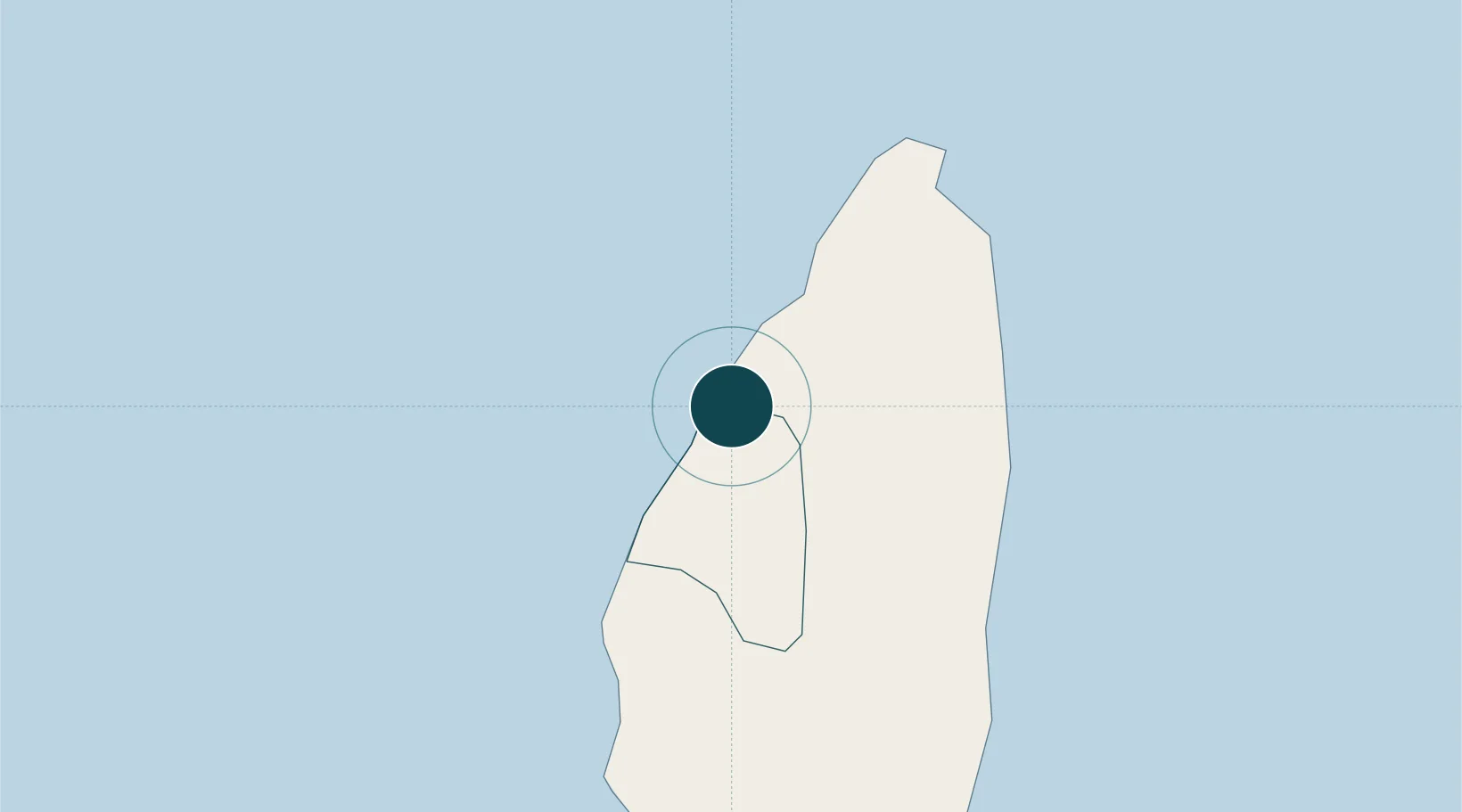
Location
Nearby Logistics Neighbours
Ports
- 1Castries4 km
- 2Vieux Fort30 km
- 3Fort De France69 km
- 4Kingstown96 km
- 5Roseau152 km
Cities
- 1Castries4 km
- 2Vieux Fort30 km
- 3Les Anses-d'Arlet56 km
- 4Le Vauclin66 km
- 5Fort-de-France69 km
Airports
DatabookThe Record of Consolidated Knowledge
St. Lucia beyond logistics?