UN/LOCODE hub · St. Lucia
LCVIF
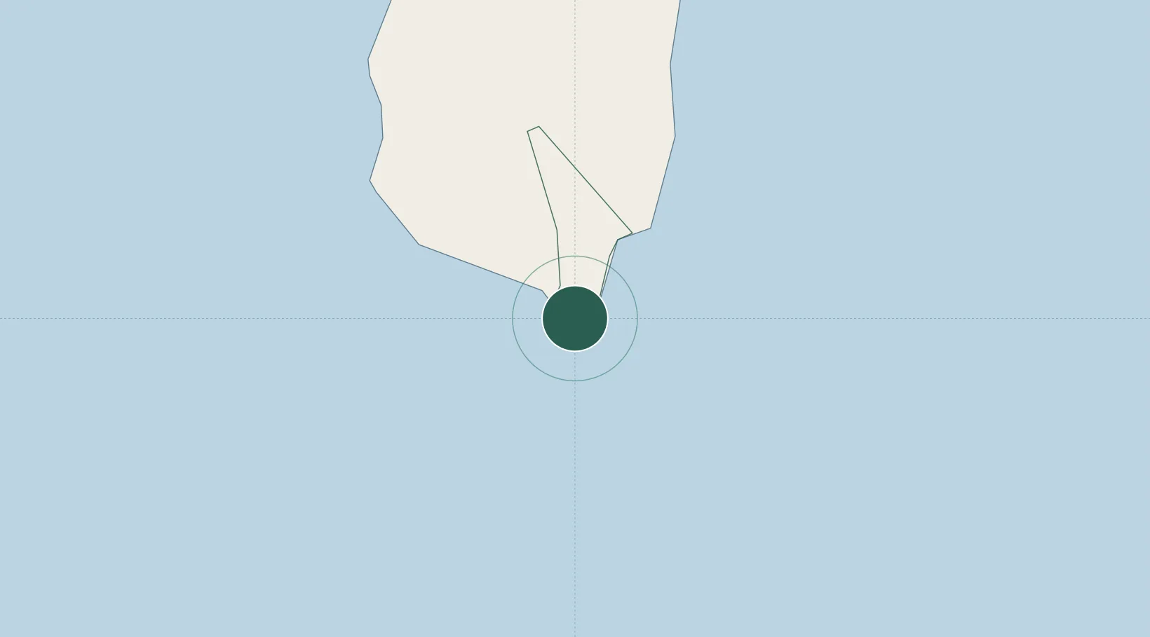
Vieux Fort
13.7220°, -60.9530°
4,574
Population
1
Transport functions
1
Container terminals
Transport Functions
Port
Hub Profile
Place type
Regional capital
Region
Vieux-Fort
Population
4,574
Time zone
America/St_Lucia
Elevation
76 m
Logistics facilities
2
Container terminals
1
Location
Nearby Logistics Neighbours
Cities
- 1Castries33 km
- 2Georgetown54 km
- 3Campden Park69 km
- 4Kingstown71 km
- 5Port Elizabeth, Bequia85 km
Ports
- 1Grand Cul De Sac Bay30 km
- 2Castries33 km
- 3Kingstown71 km
- 4Fort De France98 km
- 5Bridgetown159 km
Airports
DatabookThe Record of Consolidated Knowledge
St. Lucia beyond logistics?