UN/LOCODE hub · St. Lucia
LCCAS
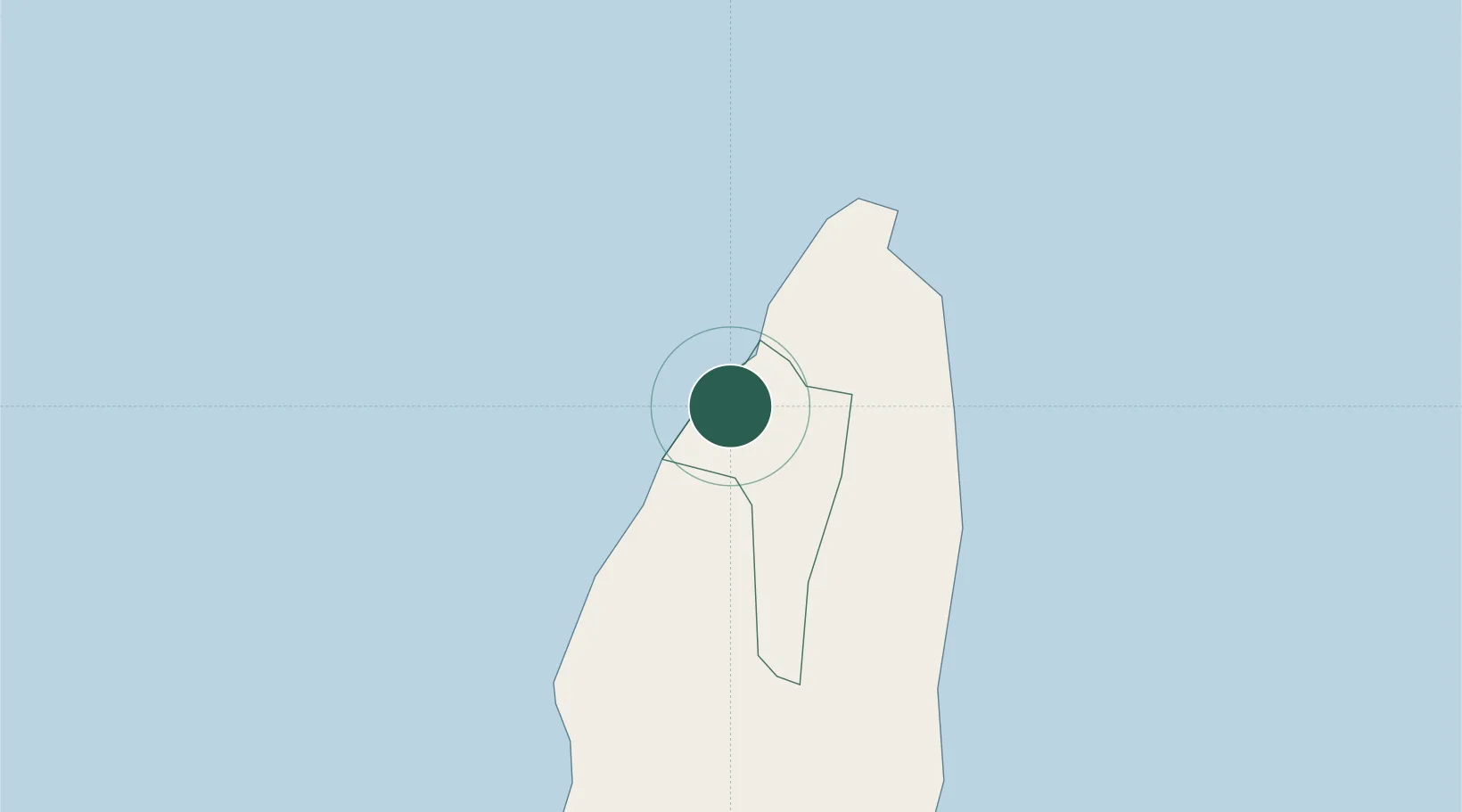
Castries
14.0123°, -60.9943°
20,000
Population
2
Transport functions
1
Container terminals
Transport Functions
Port
Road
Hub Profile
Place type
National capital
Region
Castries
Population
20,000
Time zone
America/St_Lucia
Elevation
119 m
Logistics facilities
2
Container terminals
1
Location
Nearby Logistics Neighbours
Cities
- 1Vieux Fort33 km
- 2Les Anses-d'Arlet53 km
- 3Le Vauclin62 km
- 4Fort-de-France66 km
- 5Port de Fort-de-France Pt.66 km
Ports
- 1Grand Cul De Sac Bay4 km
- 2Vieux Fort33 km
- 3Fort De France66 km
- 4Kingstown99 km
- 5Roseau150 km
Airports
DatabookThe Record of Consolidated Knowledge
St. Lucia beyond logistics?