Transport Functions
Port
Multimodal
Hub Profile
Region
08
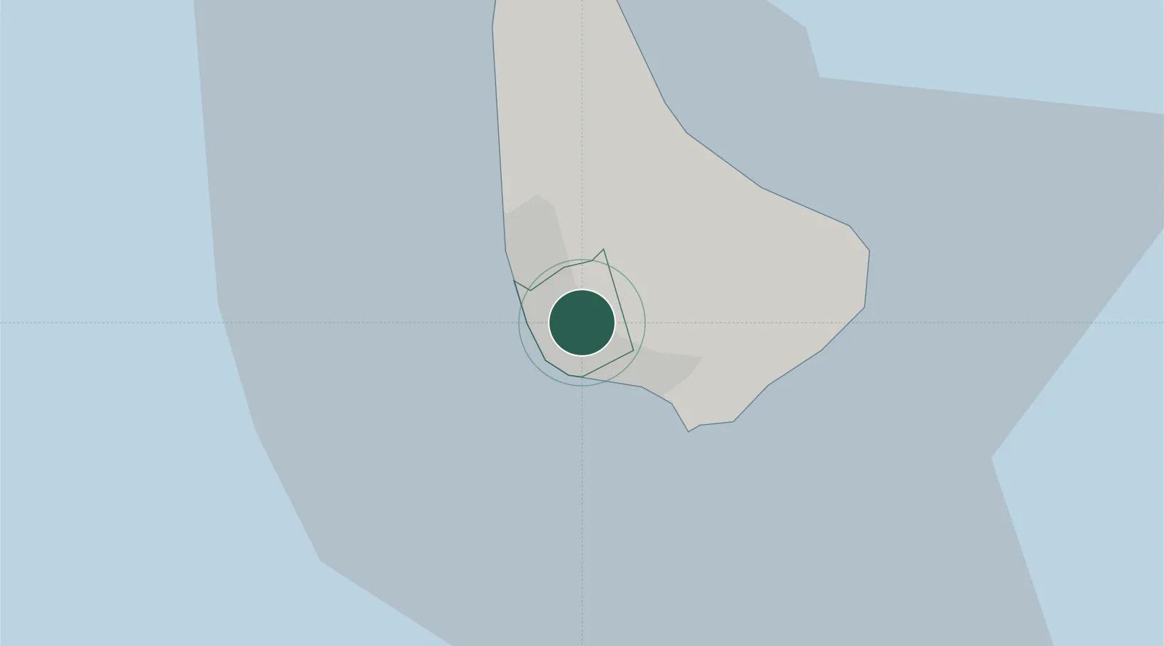
Location
Nearby Logistics Neighbours
Cities
- 1Jackson4 km
- 2Saint Peter15 km
- 3Vieux Fort161 km
- 4Georgetown165 km
- 5Kingstown175 km
Ports
- 1Bridgetown4 km
- 2Vieux Fort162 km
- 3Kingstown177 km
- 4Grand Cul De Sac Bay181 km
- 5Castries181 km
Airports
- 1Grantley Adams International Airport13 km
- 2Hewanorra International Airport162 km
- 3Argyle International Airport168 km
- 4Mustique Airport173 km
- 5J F Mitchell Airport181 km
DatabookThe Record of Consolidated Knowledge
Barbados beyond logistics?