Large airport · St. Lucia

Hewanorra International AirportTLPL
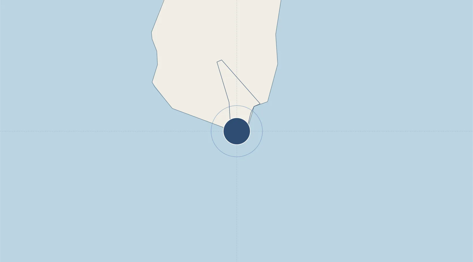
13.7332°, -60.9526°
9,003 ft
Longest runway
1
Runways
14 ft
Elevation

Runway & Layout

Hewanorra International Airport runway & taxiway layout
Runway & taxiway layout — OpenStreetMap (ODbL) / OurAirports

Radio Frequencies

TWR
118.3 MHz
GND
121.6 MHz
APP
119.8 MHz
ST LUCIA APP
OurAirports

Navaids

BNE VOR-DME Hewanorra 112.40 MHz
BNE NDB Hewanorra 305 kHz
OurAirports

Runways · 1

RunwayDimensions SurfaceTrue headingLit
10/28 9,003 × 148ft Asphalt 090°
OurAirports

Airport Specifications

IATA code
UVF
OurAirports
ICAO code
TLPL
OurAirports
Airport class
Large airport
OurAirports
Scheduled service
Yes
OurAirports
Runway surface
Asphalt
OurAirports
Served city
Vieux Fort
OurAirports

Location

Location of TLPL
Natural Earth 10m (public domain) · Vieux Fort · TLPL · 13.73, -60.95GoogleOSMYandex

Nearby Logistics Neighbours

Airports
  1. 1George F. L. Charles Airport32 km
  2. 2Argyle International Airport67 km
  3. 3J F Mitchell Airport89 km
  4. 4Martinique Aimé Césaire International Airport96 km
  5. 5Mustique Airport97 km
Nearest neighbours — logibook spatial index (haversine) over the source coordinates
Cities
  1. 1Vieux Fort1 km
  2. 2Castries31 km
  3. 3Georgetown55 km
  4. 4Campden Park70 km
  5. 5Kingstown73 km
Nearest neighbours — logibook spatial index (haversine) over the source coordinates
Ports
  1. 1Vieux Fort2 km
  2. 2Grand Cul De Sac Bay29 km
  3. 3Castries32 km
  4. 4Kingstown72 km
  5. 5Fort De France97 km
Nearest neighbours — logibook spatial index (haversine) over the source coordinates
DatabookThe Record of Consolidated Knowledge
St. Lucia beyond logistics?
Browse databook

All Sources

AirportsOurAirports
Public domain
Portsthe NGA World Port Index
Public domain (US gov)
LocationsUN/LOCODE
UN/LOCODE — free
Trade Zonesthe World Bank SEZ database
CC BY 4.0
Trade ZonesOpen Zone Map
CC BY
InfrastructureOpenStreetMap
ODbL 1.0
← St. Lucia airports