Seaport · Barbados
BridgetownBBBGI
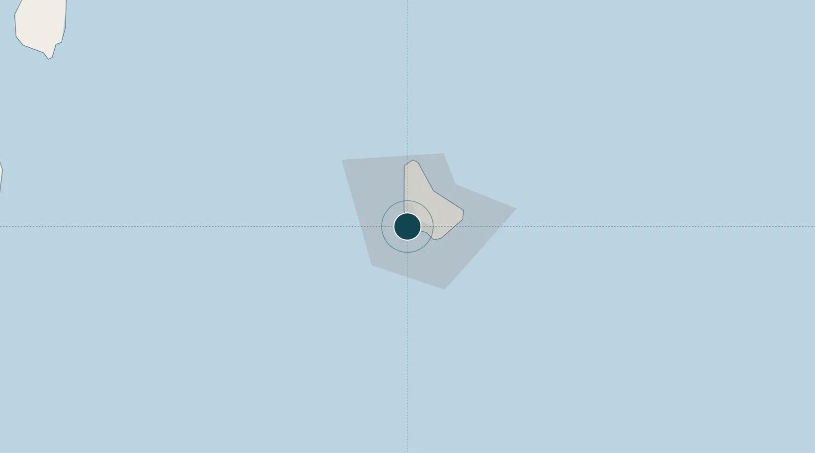
13.1000°, -59.6333°
12.5 m
Channel depth
1
Container terminals
74.6
Port liner connectivity
Channel & Berth Profile
Pilotage, Tugs & Services
Pilotage compulsoryYES
Pilotage availableYES
Pilotage advisableYES
Tug assistanceYES
Salvage tugsYES
Potable waterYES
Diesel bunkersYES
MedicalYES
Garbage disposalYES
Facilities & Capabilities
ContainerYES
Ro-RoYES
Liquid bulkYES
Dry bulkYES
Oil terminal—
Break bulkYES
Dry dock—
RepairsNO
BunkeringYES
Rail link—
Dangerous cargo—
ISPS securityYES
Harbour Specifications
Harbour size
Small
Harbour type
Coastal (Breakwater)
Shelter
Good
Water body
North Atlantic Ocean
Tidal range
0.6 m
Overhead limit
Yes
Pilotage
Yes
Liner Connectivity
74.6
PLSCI
Port Liner Shipping Connectivity Index for Bridgetown, as published by UNCTAD for the latest available quarter. Higher values indicate stronger scheduled liner-shipping integration.
Shown relative to the highest per-port PLSCI in the dataset (1,657.9).
Location
Container Terminals · 1
BRIDGETOWN PORT TERMINAL (BPI)
BPI BARBADOS PORT INC. (BPI)
Nearby Logistics Neighbours
Ports
- 1Vieux Fort160 km
- 2Kingstown173 km
- 3Grand Cul De Sac Bay179 km
- 4Castries180 km
- 5Fort De France228 km
Cities
- 1Saint Michael4 km
- 2Jackson7 km
- 3Saint Peter17 km
- 4Vieux Fort159 km
- 5Georgetown162 km
Airports
- 1Grantley Adams International Airport16 km
- 2Hewanorra International Airport159 km
- 3Argyle International Airport164 km
- 4Mustique Airport169 km
- 5J F Mitchell Airport177 km
DatabookThe Record of Consolidated Knowledge
Barbados beyond logistics?