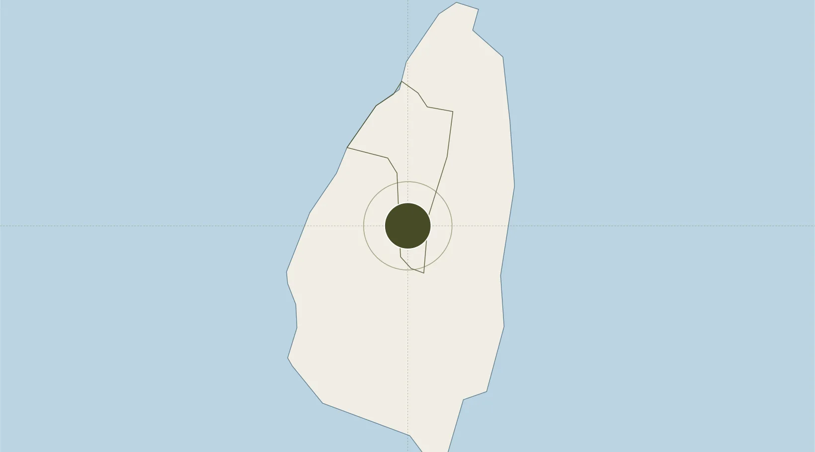
Diversified Zone · St. Lucia

Dennery Free Zone (Special Development Zone) Under Development

13.9196°, -60.9747°
8.4 km
Nearest port
11.4 km
Nearest airport

Gateway access

Nearest neighbours — logibook spatial index (haversine) over the source coordinates

Zone profile

Zone type
Diversified Zone
Open Zone Map
Region
Castries
Open Zone Map
Status
Under Development
Open Zone Map
Management
Public-Private Partnership
Open Zone Map
Operator
St. Lucia Free Zone Management Authority
Open Zone Map
Legal framework
Special Development Areas Act, 1998 (Act No. 2 of 1998).
Open Zone Map

Location

Location of ozm-4042
Natural Earth 10m (public domain) · Castries · ozm-4042 · 13.92, -60.97GoogleOSMYandex

Nearby Logistics Neighbours

Ports
  1. 1Grand Cul De Sac Bay8 km
  2. 2Castries11 km
  3. 3Vieux Fort23 km
  4. 4Fort De France76 km
  5. 5Kingstown90 km
Nearest neighbours — logibook spatial index (haversine) over the source coordinates
Airports
  1. 1George F. L. Charles Airport11 km
  2. 2Hewanorra International Airport21 km
  3. 3Martinique Aimé Césaire International Airport75 km
  4. 4Argyle International Airport87 km
  5. 5J F Mitchell Airport108 km
Nearest neighbours — logibook spatial index (haversine) over the source coordinates
Cities
  1. 1Castries11 km
  2. 2Vieux Fort22 km
  3. 3Les Anses-d'Arlet64 km
  4. 4Le Vauclin71 km
  5. 5Georgetown74 km
Nearest neighbours — logibook spatial index (haversine) over the source coordinates
DatabookThe Record of Consolidated Knowledge
St. Lucia beyond logistics?
Browse databook

All Sources

Trade ZonesOpen Zone Map
CC BY
Portsthe NGA World Port Index
Public domain (US gov)
AirportsOurAirports
Public domain
LocationsUN/LOCODE
UN/LOCODE — free
← St. Lucia trade zones