Free Trade Zone · St. Lucia

Hewanorra Free Zone (Special Development Zone) Active
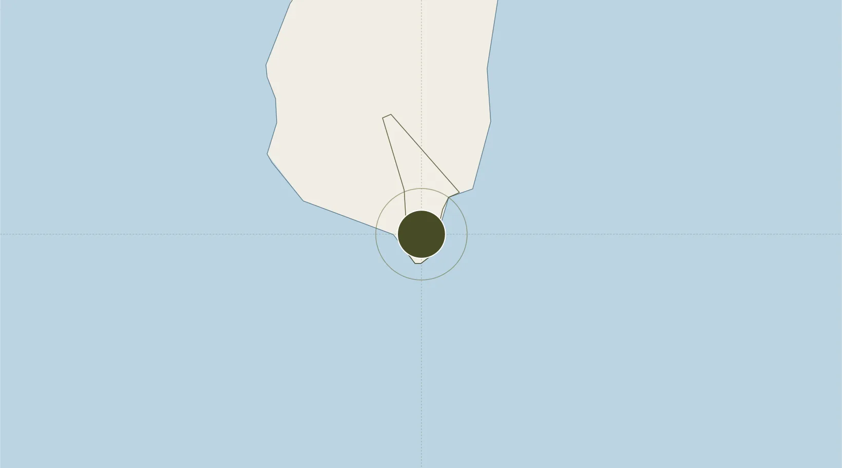
13.7393°, -60.9496°
7 ha
Zone area
3.1 km
Nearest port
0.7 km
Nearest airport

Gateway access

Nearest neighbours — logibook spatial index (haversine) over the source coordinates

Zone profile

Zone type
Free Trade Zone
Open Zone Map
Region
Vieux Fort
Open Zone Map
Status
Active
Open Zone Map
Management
Public-Private Partnership
Open Zone Map
Operator
St. Lucia Free Zone Management Authority
Open Zone Map
Legal framework
Special Development Areas Act, 1998 (Act No. 2 of 1998).
Open Zone Map

Location

Location of ozm-4046
Natural Earth 10m (public domain) · Vieux Fort · ozm-4046 · 13.74, -60.95GoogleOSMYandex

Nearby Logistics Neighbours

Ports
  1. 1Vieux Fort3 km
  2. 2Grand Cul De Sac Bay28 km
  3. 3Castries31 km
  4. 4Kingstown72 km
  5. 5Fort De France97 km
Nearest neighbours — logibook spatial index (haversine) over the source coordinates
Airports
  1. 1Hewanorra International Airport1 km
  2. 2George F. L. Charles Airport32 km
  3. 3Argyle International Airport68 km
  4. 4J F Mitchell Airport90 km
  5. 5Martinique Aimé Césaire International Airport95 km
Nearest neighbours — logibook spatial index (haversine) over the source coordinates
Cities
  1. 1Vieux Fort2 km
  2. 2Castries31 km
  3. 3Georgetown56 km
  4. 4Campden Park71 km
  5. 5Kingstown73 km
Nearest neighbours — logibook spatial index (haversine) over the source coordinates
DatabookThe Record of Consolidated Knowledge
St. Lucia beyond logistics?
Browse databook

All Sources

Trade ZonesOpen Zone Map
CC BY
Portsthe NGA World Port Index
Public domain (US gov)
AirportsOurAirports
Public domain
LocationsUN/LOCODE
UN/LOCODE — free
← St. Lucia trade zones