Charter City · St. Lucia

Choc Estate (Special Development Zone) Under Development
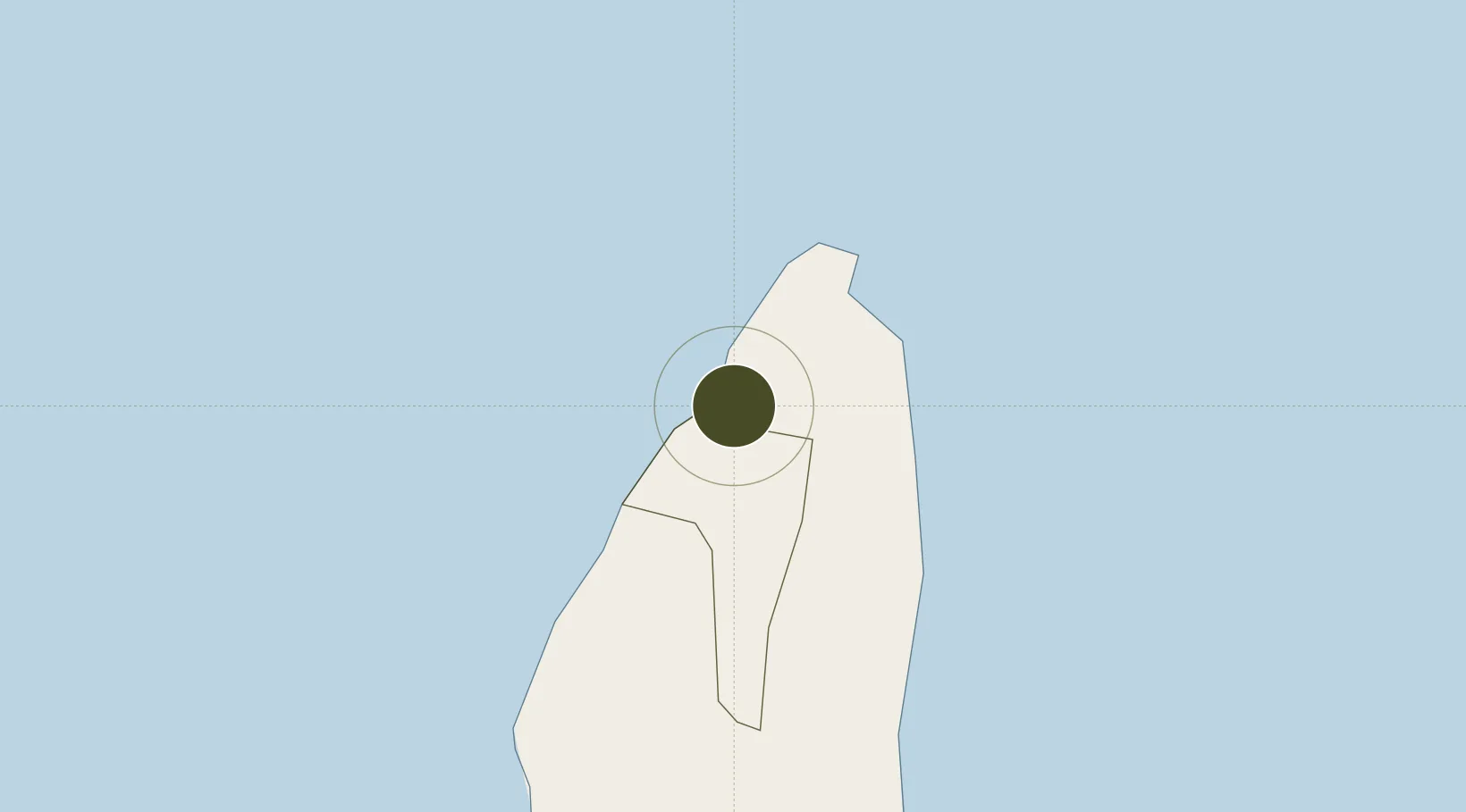
14.0340°, -60.9735°
80 ha
Zone area
3.4 km
Nearest port
2.6 km
Nearest airport

Gateway access

Nearest neighbours — logibook spatial index (haversine) over the source coordinates

Zone profile

Zone type
Charter City
Open Zone Map
Region
Castries
Open Zone Map
Status
Under Development
Open Zone Map
Management
Public-Private Partnership
Open Zone Map
Operator
St. Lucia Free Zone Management Authority
Open Zone Map
Legal framework
Special Development Areas Act, 1998 (Act No. 2 of 1998).
Open Zone Map

Location

Location of ozm-4047
Natural Earth 10m (public domain) · Castries · ozm-4047 · 14.03, -60.97GoogleOSMYandex

Nearby Logistics Neighbours

Ports
  1. 1Castries3 km
  2. 2Grand Cul De Sac Bay7 km
  3. 3Vieux Fort35 km
  4. 4Fort De France64 km
  5. 5Kingstown102 km
Nearest neighbours — logibook spatial index (haversine) over the source coordinates
Airports
  1. 1George F. L. Charles Airport3 km
  2. 2Hewanorra International Airport34 km
  3. 3Martinique Aimé Césaire International Airport62 km
  4. 4Argyle International Airport99 km
  5. 5J F Mitchell Airport120 km
Nearest neighbours — logibook spatial index (haversine) over the source coordinates
Cities
  1. 1Castries3 km
  2. 2Vieux Fort35 km
  3. 3Les Anses-d'Arlet51 km
  4. 4Le Vauclin59 km
  5. 5Fort-de-France64 km
Nearest neighbours — logibook spatial index (haversine) over the source coordinates
DatabookThe Record of Consolidated Knowledge
St. Lucia beyond logistics?
Browse databook

All Sources

Trade ZonesOpen Zone Map
CC BY
Portsthe NGA World Port Index
Public domain (US gov)
AirportsOurAirports
Public domain
LocationsUN/LOCODE
UN/LOCODE — free
← St. Lucia trade zones