Large airport · St. Vincent & Grenadines
Argyle International AirportTVSA
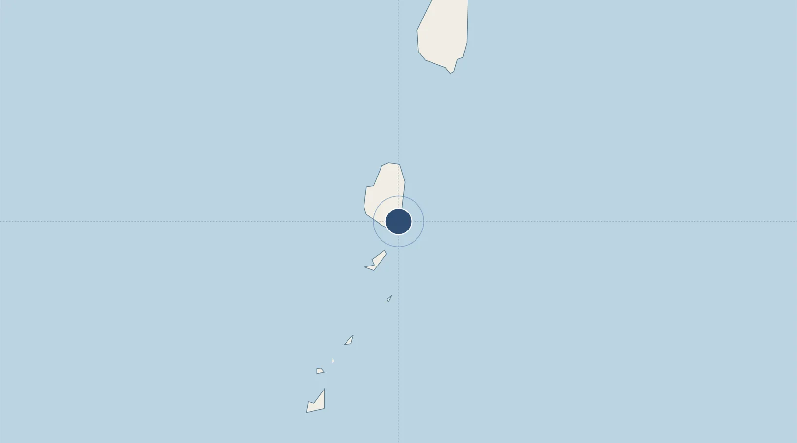
13.1597°, -61.1488°
9,000 ft
Longest runway
1
Runways
136 ft
Elevation
Runway & Layout

Radio Frequencies
ATIS
132.55 MHz
TWR
118.8 MHz
Argyle Tower
GND
121.9 MHz
Argyle Ground
APP
120.8 MHz
Argyle Approach
Runways · 1
| Runway | Dimensions | Surface | True heading | Lit |
|---|---|---|---|---|
| 04/22 | 9,000 × 148ft | Asphalt | — | ✓ |
Airport Specifications
IATA code
SVD
ICAO code
TVSA
Airport class
Large airport
Scheduled service
Yes
Runway surface
Asphalt
Served city
Kingstown
Location
Nearby Logistics Neighbours
Airports
- 1J F Mitchell Airport23 km
- 2Mustique Airport30 km
- 3Canouan Airport55 km
- 4Hewanorra International Airport67 km
- 5Union Island International Airport68 km
Cities
- 1Kingstown8 km
- 2Campden Park9 km
- 3Georgetown12 km
- 4Port Elizabeth, Bequia19 km
- 5Canouan Island53 km
Ports
- 1Kingstown9 km
- 2Vieux Fort65 km
- 3Grand Cul De Sac Bay93 km
- 4Castries97 km
- 5St George's140 km
DatabookThe Record of Consolidated Knowledge
St. Vincent & Grenadines beyond logistics?