Transport Functions
Multimodal
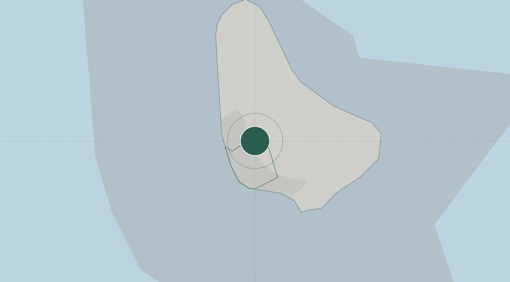
Hub Profile
Place type
Populated place
Region
Saint Michael
Time zone
America/Barbados
Elevation
94 m
Location
Nearby Logistics Neighbours
Cities
- 1Saint Michael4 km
- 2Saint Peter11 km
- 3Vieux Fort160 km
- 4Georgetown165 km
- 5Kingstown175 km
Ports
- 1Bridgetown7 km
- 2Vieux Fort161 km
- 3Kingstown177 km
- 4Grand Cul De Sac Bay179 km
- 5Castries179 km
Airports
DatabookThe Record of Consolidated Knowledge
Barbados beyond logistics?