Large airport · Barbados
Grantley Adams International AirportTBPB
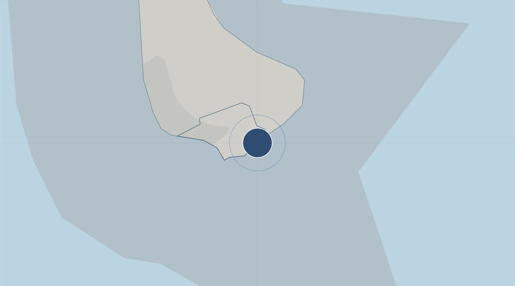
13.0747°, -59.4910°
11,000 ft
Longest runway
1
Runways
169 ft
Elevation
Runway & Layout

Radio Frequencies
ATIS
132.725 MHz
TWR
118.7 MHz
ADAMS TWR
GND
121.9 MHz
ADAMS GND
APP/DEP
129.35 MHz
ADAMS APP/DEP
APP/DEP/D
120.7 MHz
APP/DEP/D
121.2 MHz
APP/DEP/D
128.85 MHz
ADAMS APP/DEP/D
Navaids
BGI VOR-DME Adams 112.70 MHz
BGI NDB Adams 345 kHz
Runways · 1
| Runway | Dimensions | Surface | True heading | Lit |
|---|---|---|---|---|
| 09/27 | 11,000 × 150ft | Asphalt | 076° | ✓ |
Airport Specifications
IATA code
BGI
ICAO code
TBPB
Airport class
Large airport
Scheduled service
Yes
Runway surface
Asphalt
Served city
Bridgetown
Location
Nearby Logistics Neighbours
Airports
- 1Hewanorra International Airport174 km
- 2Argyle International Airport180 km
- 3Mustique Airport184 km
- 4J F Mitchell Airport192 km
- 5George F. L. Charles Airport193 km
Cities
- 1Saint Michael13 km
- 2Jackson15 km
- 3Saint Peter24 km
- 4Vieux Fort174 km
- 5Georgetown177 km
Ports
- 1Bridgetown16 km
- 2Vieux Fort175 km
- 3Kingstown189 km
- 4Grand Cul De Sac Bay193 km
- 5Castries194 km
DatabookThe Record of Consolidated Knowledge
Barbados beyond logistics?