Medium airport · St. Lucia

George F. L. Charles AirportTLPC
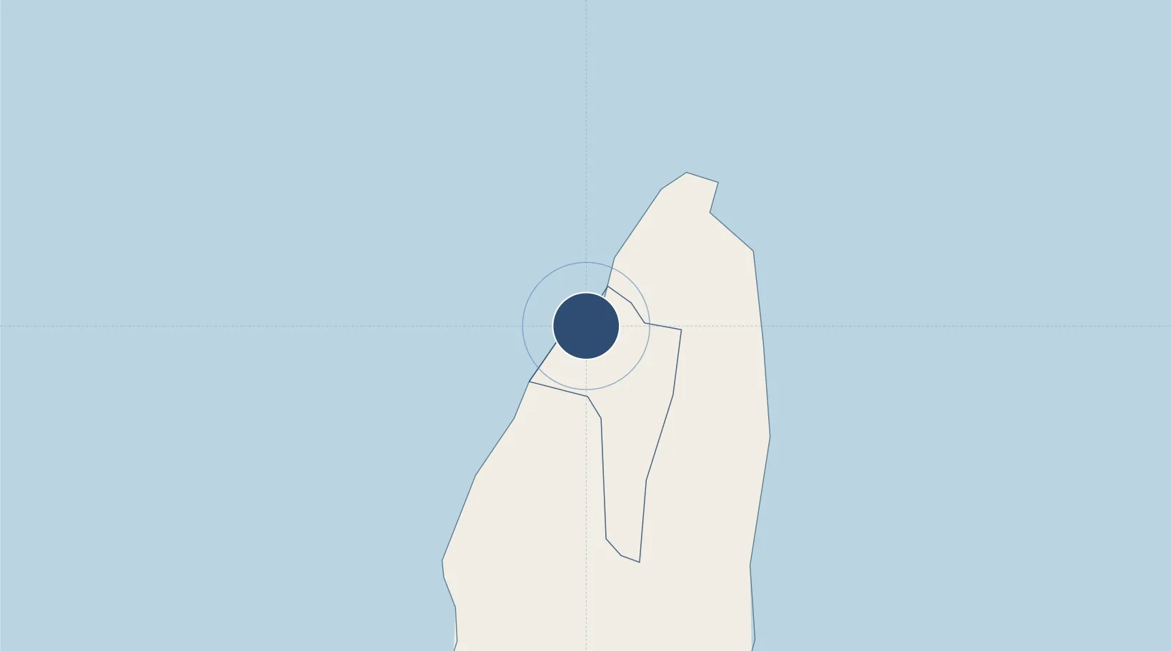
14.0202°, -60.9929°
5,735 ft
Longest runway
1
Runways
22 ft
Elevation

Runway & Layout

George F. L. Charles Airport runway & taxiway layout
Runway & taxiway layout — OpenStreetMap (ODbL) / OurAirports

Radio Frequencies

ATIS
132.6 MHz
TWR
118 MHz
GND
121.8 MHz
APP/DEP
119.8 MHz
OurAirports

Navaids

SLU NDB Vigie 415 kHz
OurAirports

Runways · 1

RunwayDimensions SurfaceTrue headingLit
09/27 5,735 × 148ft Asphalt 075°
OurAirports

Airport Specifications

IATA code
SLU
OurAirports
ICAO code
TLPC
OurAirports
Airport class
Medium airport
OurAirports
Scheduled service
Yes
OurAirports
Runway surface
Asphalt
OurAirports
Served city
Castries
OurAirports

Location

Location of TLPC
Natural Earth 10m (public domain) · Castries · TLPC · 14.02, -60.99GoogleOSMYandex

Nearby Logistics Neighbours

Airports
  1. 1Hewanorra International Airport32 km
  2. 2Martinique Aimé Césaire International Airport64 km
  3. 3Argyle International Airport97 km
  4. 4J F Mitchell Airport118 km
  5. 5Mustique Airport128 km
Nearest neighbours — logibook spatial index (haversine) over the source coordinates
Cities
  1. 1Castries1 km
  2. 2Vieux Fort33 km
  3. 3Les Anses-d'Arlet52 km
  4. 4Le Vauclin61 km
  5. 5Fort-de-France65 km
Nearest neighbours — logibook spatial index (haversine) over the source coordinates
Ports
  1. 1Castries1 km
  2. 2Grand Cul De Sac Bay5 km
  3. 3Vieux Fort34 km
  4. 4Fort De France65 km
  5. 5Kingstown100 km
Nearest neighbours — logibook spatial index (haversine) over the source coordinates
DatabookThe Record of Consolidated Knowledge
St. Lucia beyond logistics?
Browse databook

All Sources

AirportsOurAirports
Public domain
Portsthe NGA World Port Index
Public domain (US gov)
LocationsUN/LOCODE
UN/LOCODE — free
Trade Zonesthe World Bank SEZ database
CC BY 4.0
Trade ZonesOpen Zone Map
CC BY
InfrastructureOpenStreetMap
ODbL 1.0
← St. Lucia airports