Medium airport · St. Vincent & Grenadines
Mustique AirportTVSM
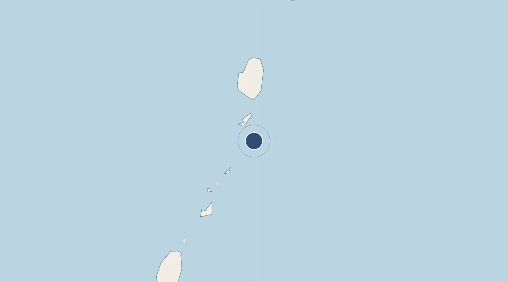
12.8879°, -61.1802°
3,255 ft
Longest runway
1
Runways
8 ft
Elevation
Runway & Layout

Radio Frequencies
TWR
123 MHz
Runways · 1
| Runway | Dimensions | Surface | True heading | Lit |
|---|---|---|---|---|
| 09/27 | 3,255 × 75ft | Asphalt | 071° | ✓ |
Airport Specifications
IATA code
MQS
ICAO code
TVSM
Airport class
Medium airport
Scheduled service
Yes
Runway surface
Asphalt
Served city
Lovell
Location
Nearby Logistics Neighbours
Airports
- 1J F Mitchell Airport14 km
- 2Canouan Airport27 km
- 3Argyle International Airport30 km
- 4Union Island International Airport41 km
- 5Lauriston Airport56 km
Cities
- 1Port Elizabeth, Bequia13 km
- 2Canouan Island24 km
- 3Kingstown28 km
- 4Campden Park32 km
- 5Georgetown43 km
Ports
- 1Kingstown30 km
- 2Vieux Fort95 km
- 3St George's112 km
- 4Grand Cul De Sac Bay123 km
- 5Castries127 km
DatabookThe Record of Consolidated Knowledge
St. Vincent & Grenadines beyond logistics?