UN/LOCODE hub · St. Vincent & Grenadines
VCGRG
Georgetown
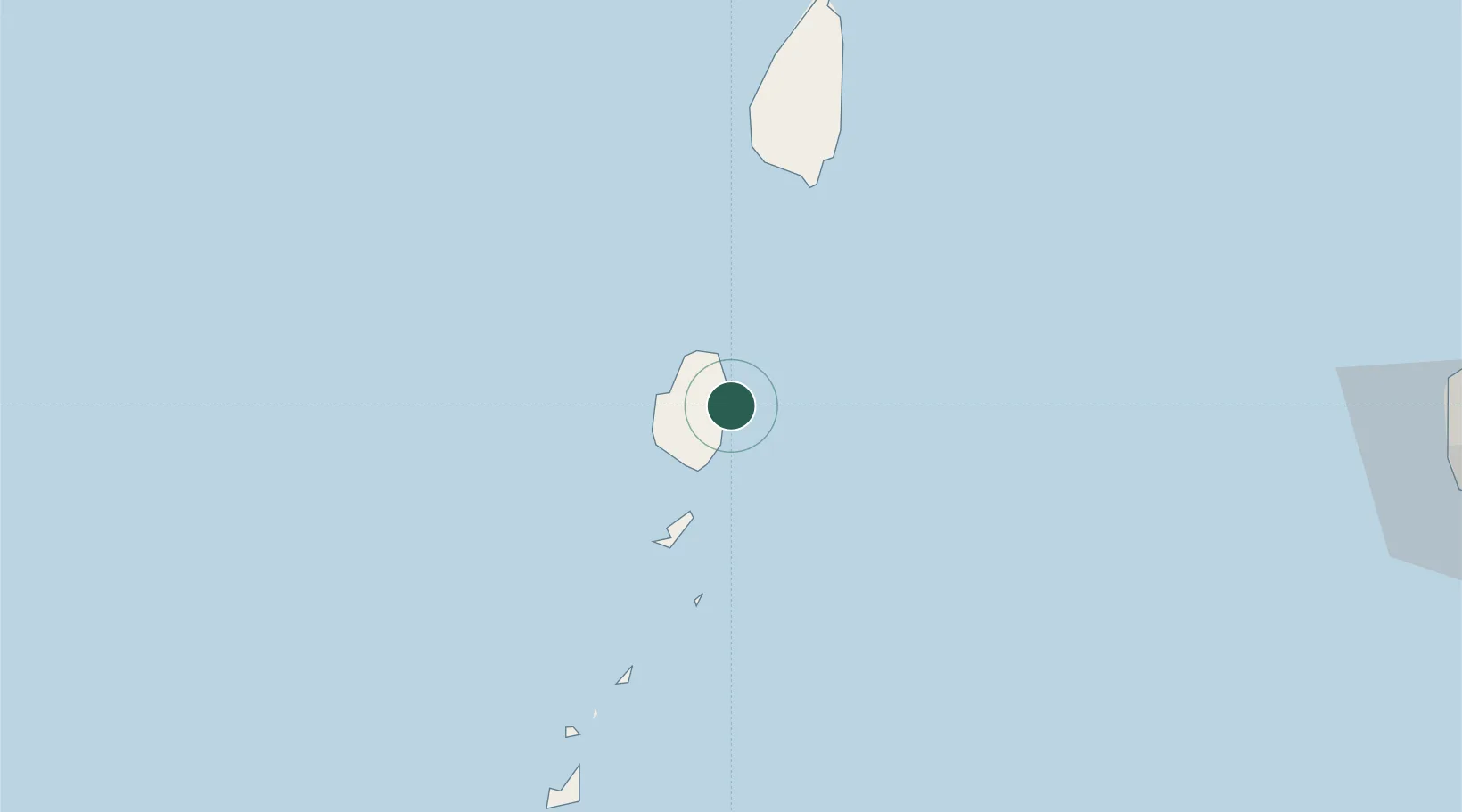
13.2667°, -61.1167°
1,680
Population
3
Transport functions
Transport Functions
Port
Road
Multimodal
Hub Profile
Place type
Regional capital
Region
Charlotte Parish
Population
1,680
Time zone
America/St_Vincent
Elevation
13 m
Location
Nearby Logistics Neighbours
Cities
- 1Campden Park17 km
- 2Kingstown18 km
- 3Port Elizabeth, Bequia32 km
- 4Vieux Fort54 km
- 5Canouan Island65 km
Ports
- 1Kingstown18 km
- 2Vieux Fort53 km
- 3Grand Cul De Sac Bay80 km
- 4Castries84 km
- 5Fort De France148 km
Airports
- 1Argyle International Airport12 km
- 2J F Mitchell Airport35 km
- 3Mustique Airport43 km
- 4Hewanorra International Airport55 km
- 5Canouan Airport68 km
DatabookThe Record of Consolidated Knowledge
St. Vincent & Grenadines beyond logistics?