UN/LOCODE hub · Bosnia & Herzegovina
BADOV
Donji Vakuf
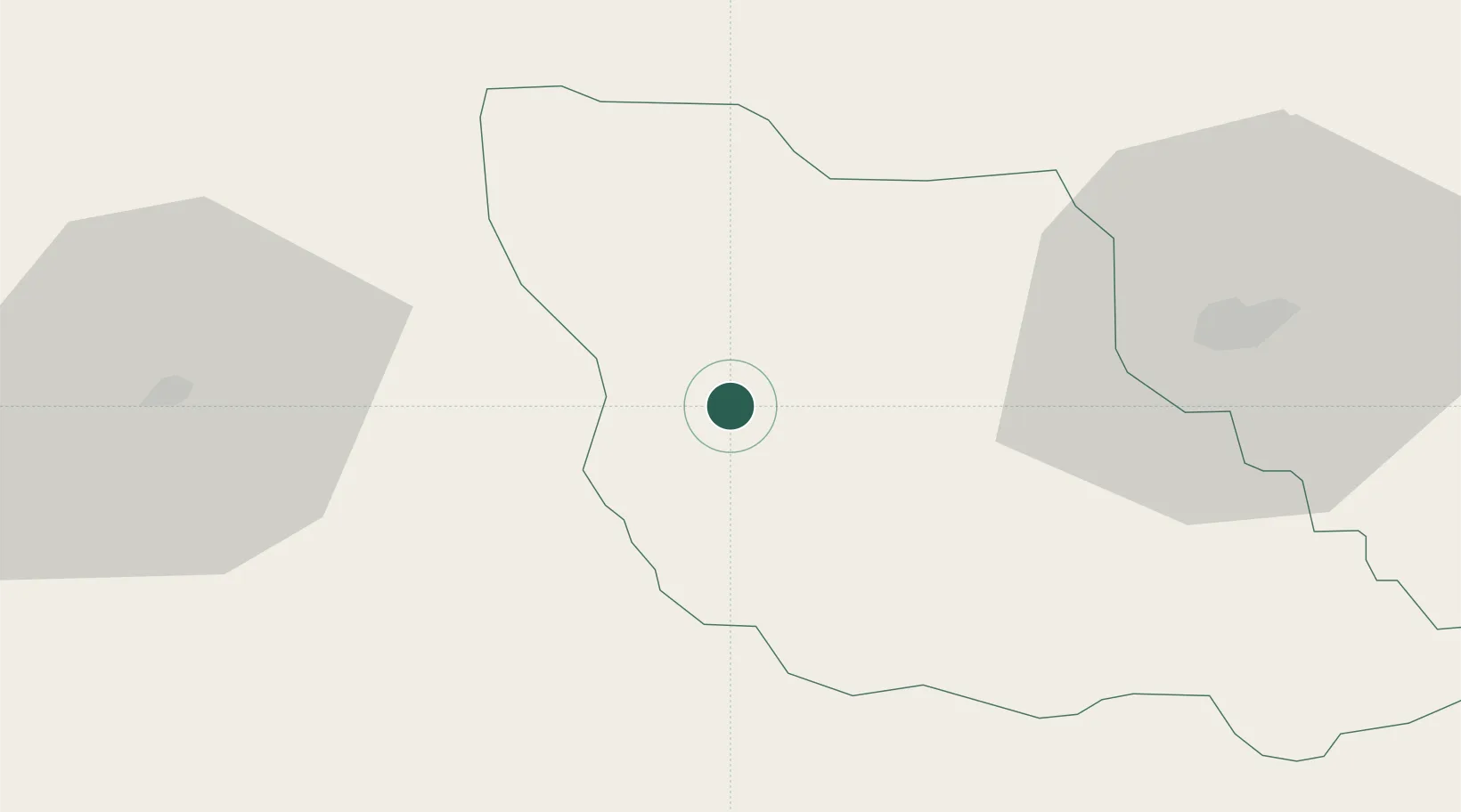
44.1333°, 17.4000°
7,955
Population
2
Transport functions
Transport Functions
Rail
Road
Hub Profile
Place type
District seat
Region
Federation of B&H
Population
7,955
Time zone
Europe/Sarajevo
Elevation
515 m
Location
Nearby Logistics Neighbours
Airports
- 1Sarajevo International Airport82 km
- 2Banja Luka International Airport90 km
- 3Mostar International Airport101 km
- 4Split Saint Jerome Airport110 km
- 5Brač Airport111 km
Trade Zones
- 1Free Zone Visoko63 km
- 2Free Zone Vogošća81 km
- 3Free Zone Hercegovina97 km
- 4Free Zone Holc, Lukavac99 km
- 5Split-Dalmatia Free Zone102 km
DatabookThe Record of Consolidated Knowledge
Bosnia & Herzegovina beyond logistics?