UN/LOCODE hub · Bosnia & Herzegovina
BAMAG
Maglaj
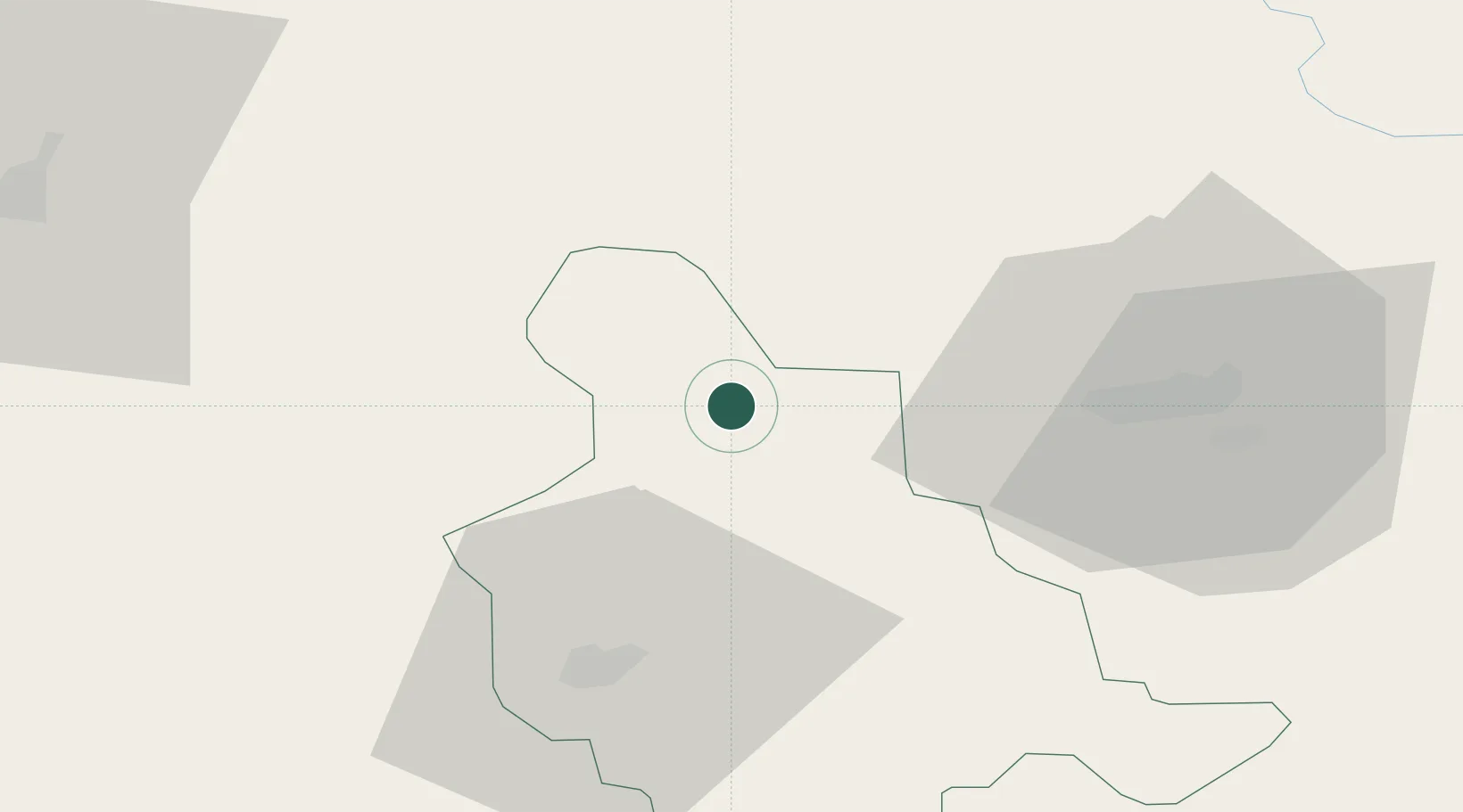
44.5333°, 18.0833°
7,399
Population
3
Transport functions
Transport Functions
Port
Rail
Road
Hub Profile
Place type
District seat
Region
Federation of B&H
Population
7,399
Time zone
Europe/Sarajevo
Elevation
177 m
Location
Nearby Logistics Neighbours
Airports
Trade Zones
- 1Free Zone Holc, Lukavac34 km
- 2Free Zone Visoko60 km
- 3Duro Daković Free Zone71 km
- 4Free Zone Vogošća74 km
- 5Osijek Free Zone93 km
DatabookThe Record of Consolidated Knowledge
Bosnia & Herzegovina beyond logistics?