Transport Functions
Rail
Road
Hub Profile
Place type
District seat
Region
Federation of B&H
Time zone
Europe/Sarajevo
Elevation
248 m
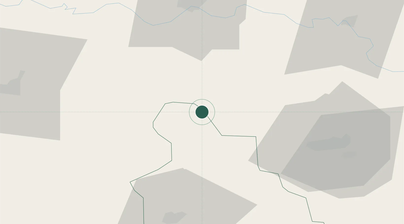
Location
Nearby Logistics Neighbours
Cities
- 1Maglaj17 km
- 2Modrica35 km
- 3Bosanski Brod (Srpski Brod)50 km
- 4Slavonski Brod51 km
- 5Tuzla52 km
Airports
Trade Zones
- 1Free Zone Holc, Lukavac40 km
- 2Duro Daković Free Zone54 km
- 3Free Zone Visoko76 km
- 4Osijek Free Zone78 km
- 5Free Zone Vogošća91 km
DatabookThe Record of Consolidated Knowledge
Bosnia & Herzegovina beyond logistics?