UN/LOCODE hub · Bosnia & Herzegovina
BABUG
Bugojno
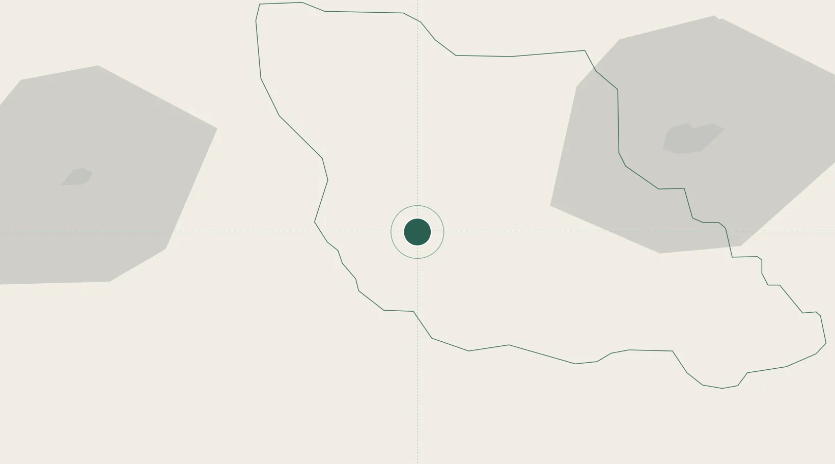
44.0500°, 17.4333°
41,378
Population
2
Transport functions
Transport Functions
Rail
Road
Hub Profile
Place type
District seat
Region
Federation of B&H
Population
41,378
Time zone
Europe/Sarajevo
Elevation
565 m
Location
Nearby Logistics Neighbours
Cities
- 1Donji Vakuf10 km
- 2Travnik26 km
- 3Fojnica39 km
- 4Jablanica51 km
- 5Citluk64 km
Airports
- 1Sarajevo International Airport76 km
- 2Mostar International Airport92 km
- 3Banja Luka International Airport100 km
- 4Brač Airport105 km
- 5Split Saint Jerome Airport107 km
Trade Zones
- 1Free Zone Visoko59 km
- 2Free Zone Vogošća76 km
- 3Free Zone Hercegovina88 km
- 4Split-Dalmatia Free Zone98 km
- 5Port of Split Free Zone101 km
DatabookThe Record of Consolidated Knowledge
Bosnia & Herzegovina beyond logistics?