UN/LOCODE hub · Bosnia & Herzegovina
BAJBA
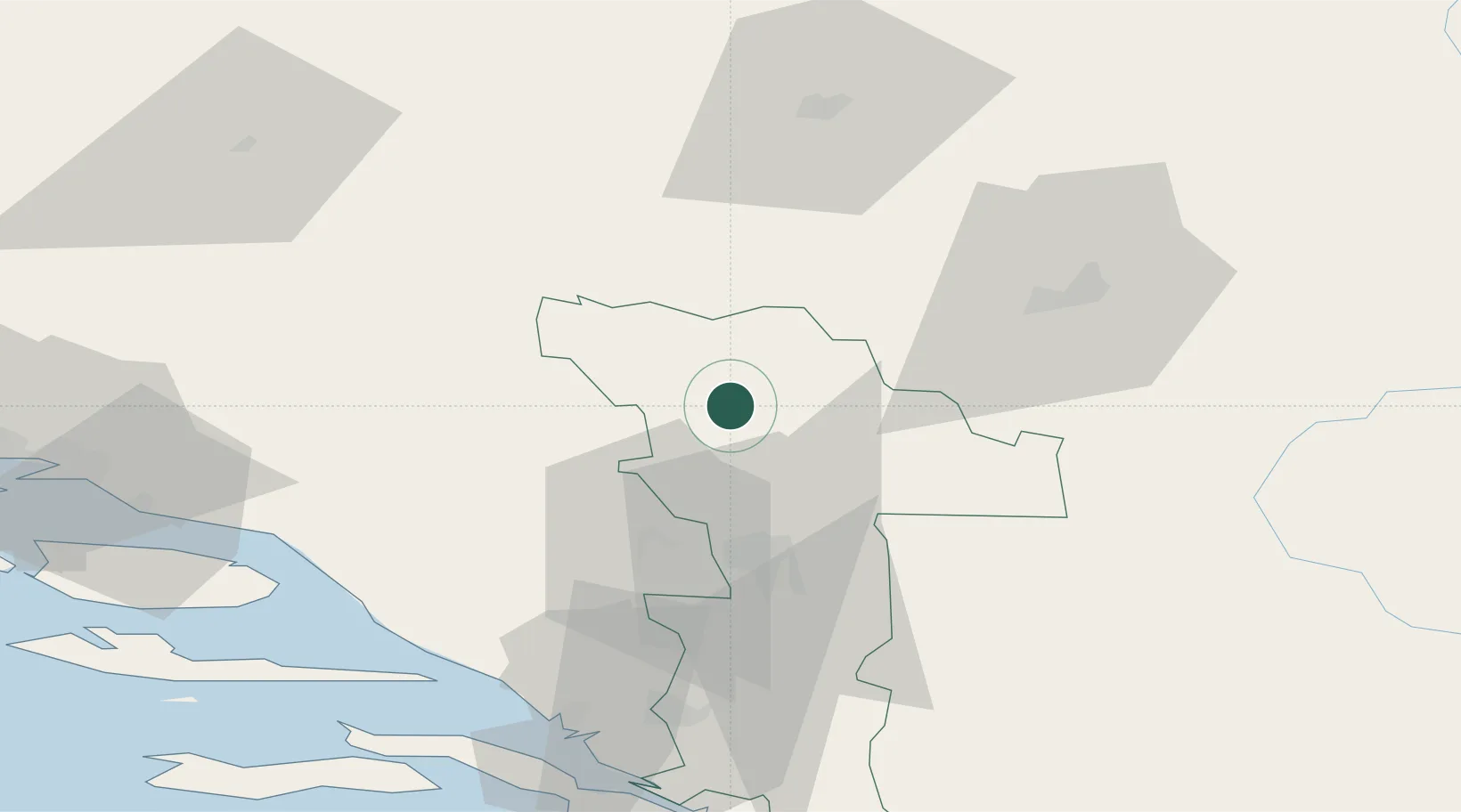
Jablanica
43.6500°, 17.7500°
6,209
Population
2
Transport functions
Transport Functions
Port
Multimodal
Hub Profile
Place type
District seat
Region
Federation of B&H
Population
6,209
Time zone
Europe/Sarajevo
Elevation
199 m
Location
Nearby Logistics Neighbours
Airports
- 1Mostar International Airport42 km
- 2Sarajevo International Airport51 km
- 3Brač Airport96 km
- 4Split Saint Jerome Airport118 km
- 5Tuzla International Airport119 km
Trade Zones
- 1Free Zone Hercegovina38 km
- 2Free Zone Visoko51 km
- 3Free Zone Vogošća57 km
- 4Port of Ploče Free Zone72 km
- 5Split-Dalmatia Free Zone105 km
DatabookThe Record of Consolidated Knowledge
Bosnia & Herzegovina beyond logistics?