Transport Functions
Multimodal
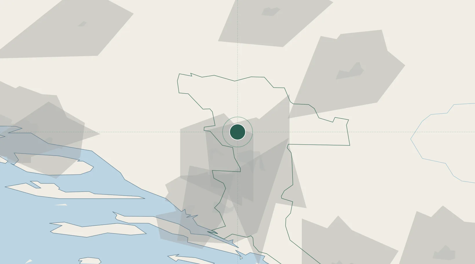
Hub Profile
Place type
Populated place
Region
Federation of B&H
Time zone
Europe/Sarajevo
Elevation
147 m
Location
Nearby Logistics Neighbours
Airports
- 1Mostar International Airport28 km
- 2Sarajevo International Airport59 km
- 3Brač Airport89 km
- 4Dubrovnik Ruđer Bošković Airport115 km
- 5Split Saint Jerome Airport116 km
Trade Zones
- 1Free Zone Hercegovina24 km
- 2Port of Ploče Free Zone58 km
- 3Free Zone Visoko64 km
- 4Free Zone Vogošća66 km
- 5Split-Dalmatia Free Zone103 km
DatabookThe Record of Consolidated Knowledge
Bosnia & Herzegovina beyond logistics?