UN/LOCODE hub · Australia
AUYRV

Yarraville/Melbourne

-37.8167°, 144.8833°
2
Transport functions

Transport Functions

Rail
Road
UN/LOCODE

Hub Profile

Region
VIC
GeoNames

Location

Location of AUYRV
Natural Earth 10m (public domain) · VIC · AUYRV · -37.82, 144.88GoogleOSMYandex

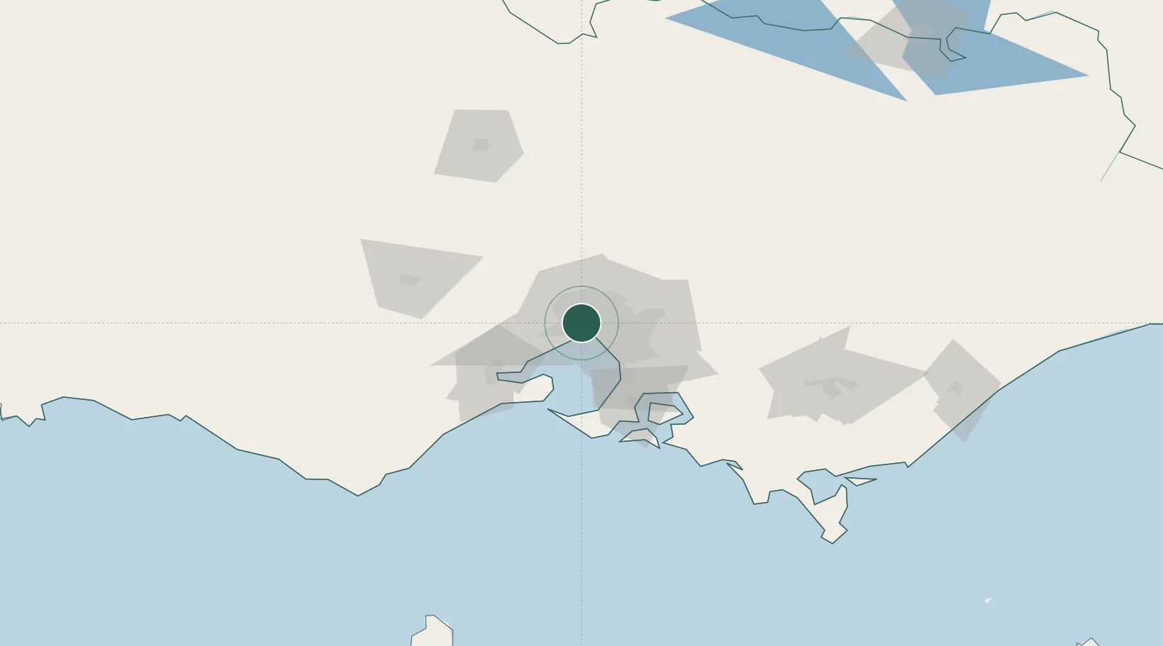
Nearby Logistics Neighbours

Cities
  1. 1West Footscray2 km
  2. 2Footscray2 km
  3. 3Maribyrnong4 km
  4. 4Port Melbourne4 km
  5. 5Altona North4 km
Nearest neighbours — logibook spatial index (haversine) over the source coordinates
Ports
  1. 1Melbourne8 km
  2. 2Geelong59 km
  3. 3Western Port67 km
  4. 4Welshpool170 km
  5. 5Warrnambool220 km
Nearest neighbours — logibook spatial index (haversine) over the source coordinates
Airports
  1. 1Melbourne Essendon Airport10 km
  2. 2Melbourne Airport17 km
  3. 3Melbourne Moorabbin Airport26 km
  4. 4Melbourne Avalon International Airport44 km
  5. 5Bendigo Airport129 km
Nearest neighbours — logibook spatial index (haversine) over the source coordinates
Trade Zones
  1. 1Latrobe Valley Economic Growth Zone140 km
  2. 2Paga Hill Estate Special Economic Zone3159 km
  3. 3Vanuatu Economic Development Zone3307 km
  4. 4Ihu Special Economic Zone3327 km
  5. 5Morobe Agricultural Special Economic Zone3467 km
Nearest neighbours — logibook spatial index (haversine) over the source coordinates
DatabookThe Record of Consolidated Knowledge
Australia beyond logistics?
Browse databook

All Sources

LocationsUN/LOCODE
UN/LOCODE — free
Portsthe NGA World Port Index
Public domain (US gov)
AirportsOurAirports
Public domain
Trade Zonesthe World Bank SEZ database
CC BY 4.0
Trade ZonesOpen Zone Map
CC BY
← Australia locations