UN/LOCODE hub · Australia
AUWFO
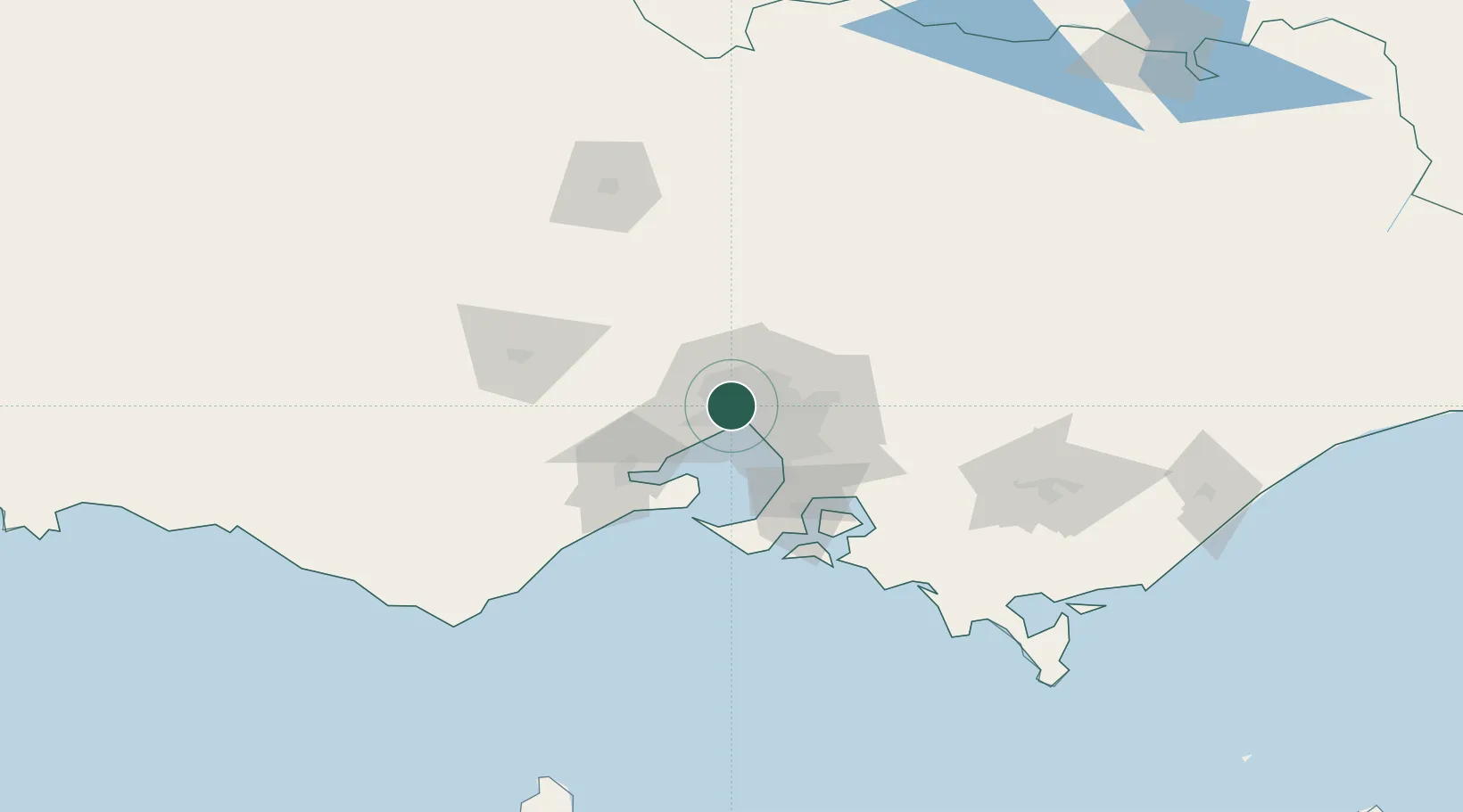
West Footscray
-37.8000°, 144.8667°
11,729
Population
2
Transport functions
Transport Functions
Rail
Road
Hub Profile
Place type
Urban district
Region
Victoria
Population
11,729
Time zone
Australia/Melbourne
Elevation
37 m
Location
Nearby Logistics Neighbours
Cities
- 1Yarraville/Melbourne2 km
- 2Maribyrnong2 km
- 3Maidstone2 km
- 4Footscray3 km
- 5Altona North4 km
Ports
- 1Melbourne10 km
- 2Geelong59 km
- 3Western Port69 km
- 4Welshpool172 km
- 5Warrnambool219 km
Airports
Trade Zones
DatabookThe Record of Consolidated Knowledge
Australia beyond logistics?