UN/LOCODE hub · Australia
AUATO
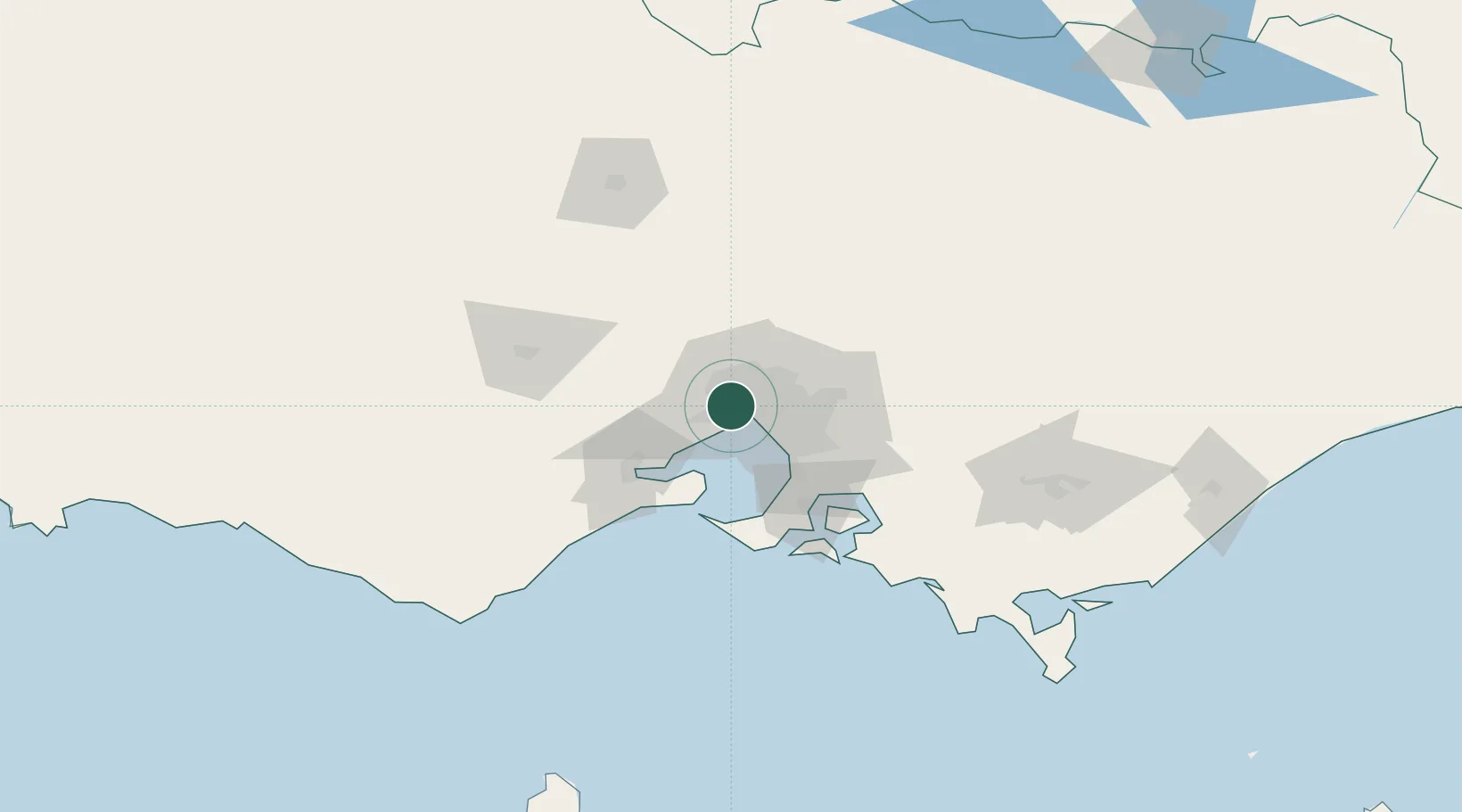
Altona North
-37.8167°, 144.8333°
12,962
Population
1
Transport functions
Transport Functions
Multimodal
Hub Profile
Place type
Urban district
Region
Victoria
Population
12,962
Time zone
Australia/Melbourne
Elevation
18 m
Location
Nearby Logistics Neighbours
Cities
- 1Brooklyn0 km
- 2West Footscray4 km
- 3Maidstone4 km
- 4Yarraville/Melbourne4 km
- 5Seaholme6 km
Ports
- 1Melbourne12 km
- 2Geelong55 km
- 3Western Port69 km
- 4Welshpool173 km
- 5Warrnambool216 km
Airports
- 1Melbourne Essendon Airport12 km
- 2Melbourne Airport16 km
- 3Melbourne Moorabbin Airport30 km
- 4Melbourne Avalon International Airport41 km
- 5Bendigo Airport128 km
Trade Zones
DatabookThe Record of Consolidated Knowledge
Australia beyond logistics?