UN/LOCODE hub · Australia
AUPOR
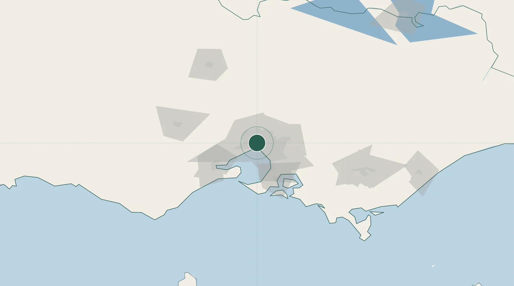
Port Melbourne
-37.8132°, 144.9314°
17,633
Population
1
Transport functions
Transport Functions
Port
Hub Profile
Place type
Urban district
Region
Victoria
Population
17,633
Time zone
Australia/Melbourne
Elevation
7 m
Logistics facilities
1
Location
Nearby Logistics Neighbours
Cities
- 1Southbank2 km
- 2West Melbourne2 km
- 3Footscray3 km
- 4Knoxfield3 km
- 5Carlton3 km
Ports
- 1Melbourne4 km
- 2Geelong62 km
- 3Western Port65 km
- 4Welshpool166 km
- 5Warrnambool224 km
Airports
- 1Melbourne Essendon Airport10 km
- 2Melbourne Airport18 km
- 3Melbourne Moorabbin Airport24 km
- 4Melbourne Avalon International Airport48 km
- 5Bendigo Airport131 km
Trade Zones
DatabookThe Record of Consolidated Knowledge
Australia beyond logistics?