Transport Functions
Rail
Road
Multimodal
Hub Profile
Place type
Urban district
Region
Victoria
Population
17,131
Time zone
Australia/Melbourne
Elevation
27 m
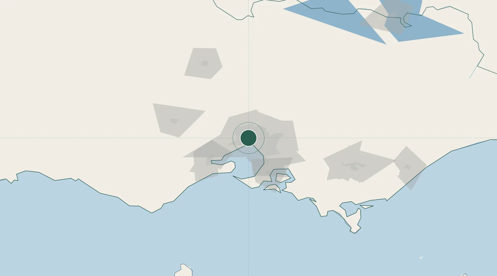
Location
Nearby Logistics Neighbours
Cities
- 1Yarraville/Melbourne2 km
- 2Maribyrnong2 km
- 3West Footscray3 km
- 4Port Melbourne3 km
- 5Southbank5 km
Ports
- 1Melbourne7 km
- 2Geelong61 km
- 3Western Port68 km
- 4Welshpool170 km
- 5Warrnambool222 km
Airports
Trade Zones
DatabookThe Record of Consolidated Knowledge
Australia beyond logistics?