UN/LOCODE hub · Australia
AUGRU

Gruyere

-37.7333°, 145.4500°
931
Population
2
Transport functions

Transport Functions

Port
Multimodal
UN/LOCODE

Hub Profile

Place type
Urban district
GeoNames
Region
Victoria
GeoNames
Population
931
GeoNames
Time zone
Australia/Melbourne
GeoNames
Elevation
135 m
GeoNames

Location

Location of AUGRU
Natural Earth 10m (public domain) · Victoria · AUGRU · -37.73, 145.45GoogleOSMYandex

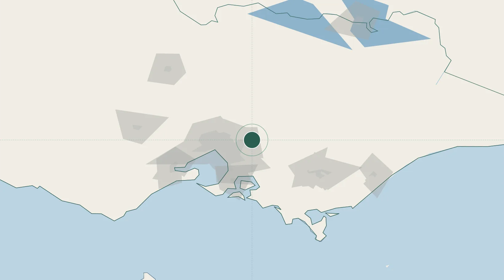
Nearby Logistics Neighbours

Cities
  1. 1Lilydale8 km
  2. 2Coldstream8 km
  3. 3Yering8 km
  4. 4Yarra Junction16 km
  5. 5Hoddles Creek16 km
Nearest neighbours — logibook spatial index (haversine) over the source coordinates
Ports
  1. 1Melbourne44 km
  2. 2Western Port71 km
  3. 3Geelong106 km
  4. 4Welshpool139 km
  5. 5Warrnambool270 km
Nearest neighbours — logibook spatial index (haversine) over the source coordinates
Airports
  1. 1Melbourne Moorabbin Airport41 km
  2. 2Melbourne Essendon Airport48 km
  3. 3Melbourne Airport54 km
  4. 4Melbourne Avalon International Airport93 km
  5. 5Latrobe Valley Airport104 km
Nearest neighbours — logibook spatial index (haversine) over the source coordinates
Trade Zones
  1. 1Latrobe Valley Economic Growth Zone99 km
  2. 2Paga Hill Estate Special Economic Zone3146 km
  3. 3Vanuatu Economic Development Zone3264 km
  4. 4Ihu Special Economic Zone3318 km
  5. 5Morobe Agricultural Special Economic Zone3456 km
Nearest neighbours — logibook spatial index (haversine) over the source coordinates
DatabookThe Record of Consolidated Knowledge
Australia beyond logistics?
Browse databook

All Sources

LocationsUN/LOCODE
UN/LOCODE — free
LocationsGeoNames
CC BY 4.0
Portsthe NGA World Port Index
Public domain (US gov)
AirportsOurAirports
Public domain
Trade Zonesthe World Bank SEZ database
CC BY 4.0
Trade ZonesOpen Zone Map
CC BY
← Australia locations