UN/LOCODE hub · Australia
AULYD

Lilydale

-37.7500°, 145.3667°
17,348
Population
4
Transport functions

Transport Functions

Port
Rail
Road
Multimodal
UN/LOCODE

Hub Profile

Place type
Urban district
GeoNames
Region
Victoria
GeoNames
Population
17,348
GeoNames
Time zone
Australia/Melbourne
GeoNames
Elevation
99 m
GeoNames

Location

Location of AULYD
Natural Earth 10m (public domain) · Victoria · AULYD · -37.75, 145.37GoogleOSMYandex

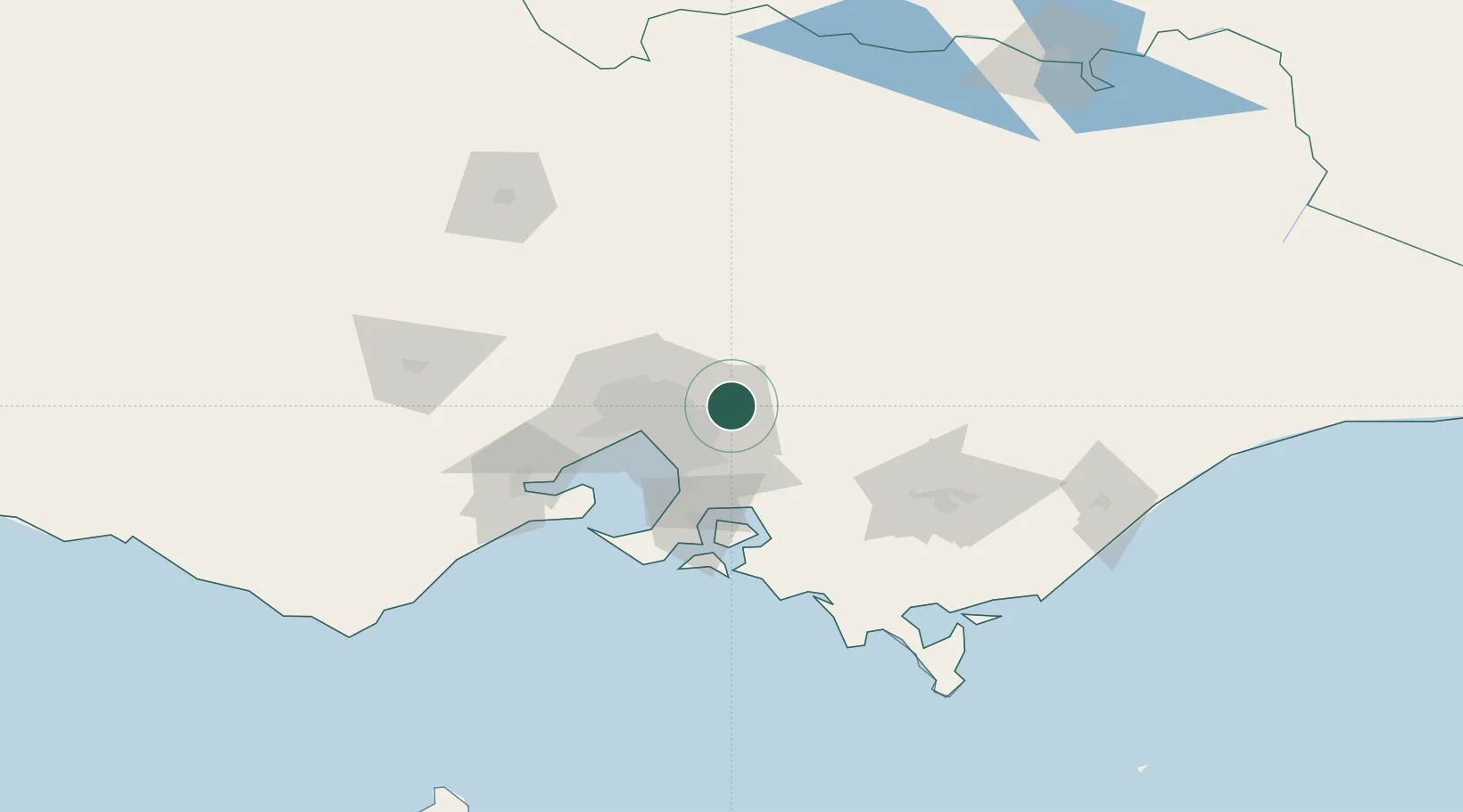
Nearby Logistics Neighbours

Cities
  1. 1Coldstream4 km
  2. 2Yering6 km
  3. 3Gruyere8 km
  4. 4Heathmont14 km
  5. 5Monbulk15 km
Nearest neighbours — logibook spatial index (haversine) over the source coordinates
Ports
  1. 1Melbourne36 km
  2. 2Western Port68 km
  3. 3Geelong98 km
  4. 4Welshpool143 km
  5. 5Warrnambool263 km
Nearest neighbours — logibook spatial index (haversine) over the source coordinates
Airports
  1. 1Melbourne Moorabbin Airport35 km
  2. 2Melbourne Essendon Airport41 km
  3. 3Melbourne Airport47 km
  4. 4Melbourne Avalon International Airport85 km
  5. 5Latrobe Valley Airport110 km
Nearest neighbours — logibook spatial index (haversine) over the source coordinates
Trade Zones
  1. 1Latrobe Valley Economic Growth Zone105 km
  2. 2Paga Hill Estate Special Economic Zone3148 km
  3. 3Vanuatu Economic Development Zone3271 km
  4. 4Ihu Special Economic Zone3320 km
  5. 5Morobe Agricultural Special Economic Zone3458 km
Nearest neighbours — logibook spatial index (haversine) over the source coordinates
DatabookThe Record of Consolidated Knowledge
Australia beyond logistics?
Browse databook

All Sources

LocationsUN/LOCODE
UN/LOCODE — free
LocationsGeoNames
CC BY 4.0
Portsthe NGA World Port Index
Public domain (US gov)
AirportsOurAirports
Public domain
Trade Zonesthe World Bank SEZ database
CC BY 4.0
Trade ZonesOpen Zone Map
CC BY
← Australia locations