Transport Functions
Rail
Road
Hub Profile
Place type
Urban district
Region
Victoria
Population
107
Time zone
Australia/Melbourne
Elevation
71 m
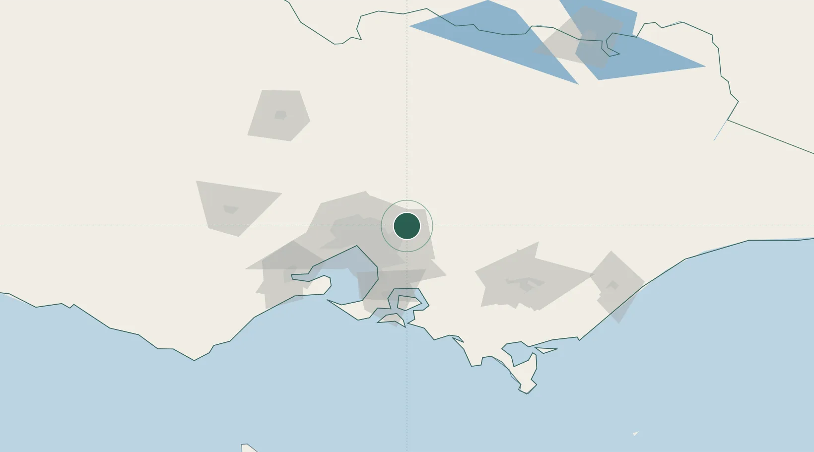
Location
Nearby Logistics Neighbours
Cities
- 1Coldstream2 km
- 2Lilydale6 km
- 3Gruyere8 km
- 4Cottles Bridge15 km
- 5Heathmont18 km
Ports
- 1Melbourne38 km
- 2Western Port73 km
- 3Geelong101 km
- 4Welshpool147 km
- 5Warrnambool264 km
Airports
Trade Zones
DatabookThe Record of Consolidated Knowledge
Australia beyond logistics?