Transport Functions
Multimodal
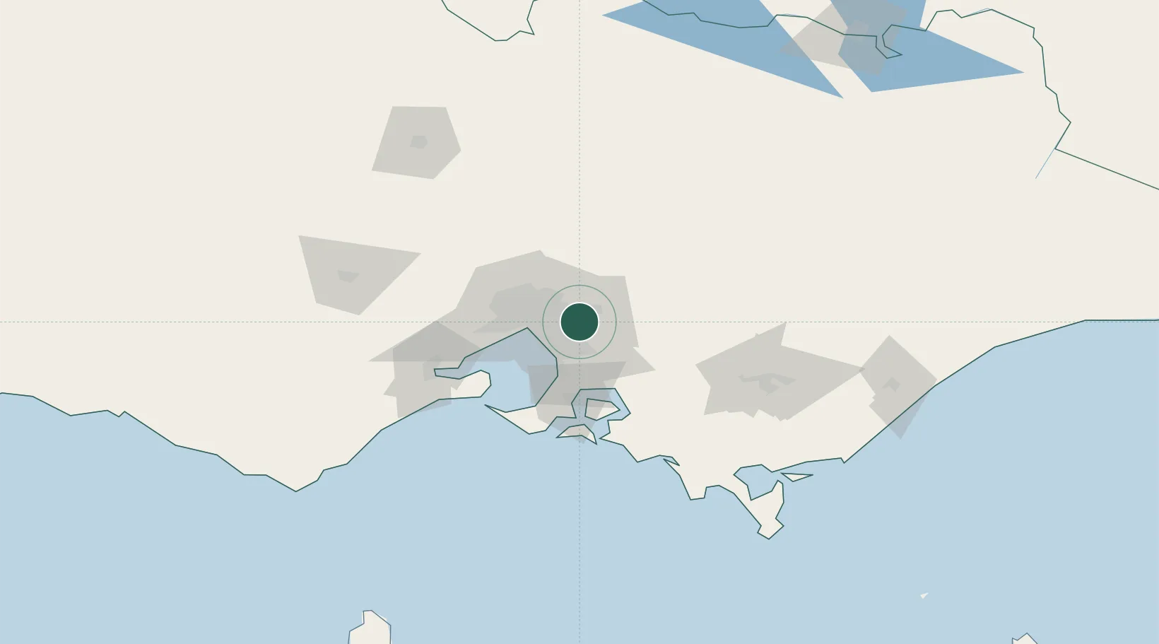
Hub Profile
Place type
Urban district
Region
Victoria
Population
9,933
Time zone
Australia/Melbourne
Elevation
114 m
Location
Nearby Logistics Neighbours
Cities
- 1Vermont4 km
- 2Mitcham5 km
- 3Nunawading8 km
- 4Scoresby8 km
- 5Glen Waverley9 km
Ports
- 1Melbourne25 km
- 2Western Port58 km
- 3Geelong85 km
- 4Welshpool143 km
- 5Warrnambool250 km
Airports
Trade Zones
DatabookThe Record of Consolidated Knowledge
Australia beyond logistics?