UN/LOCODE hub · Australia
AUCTT
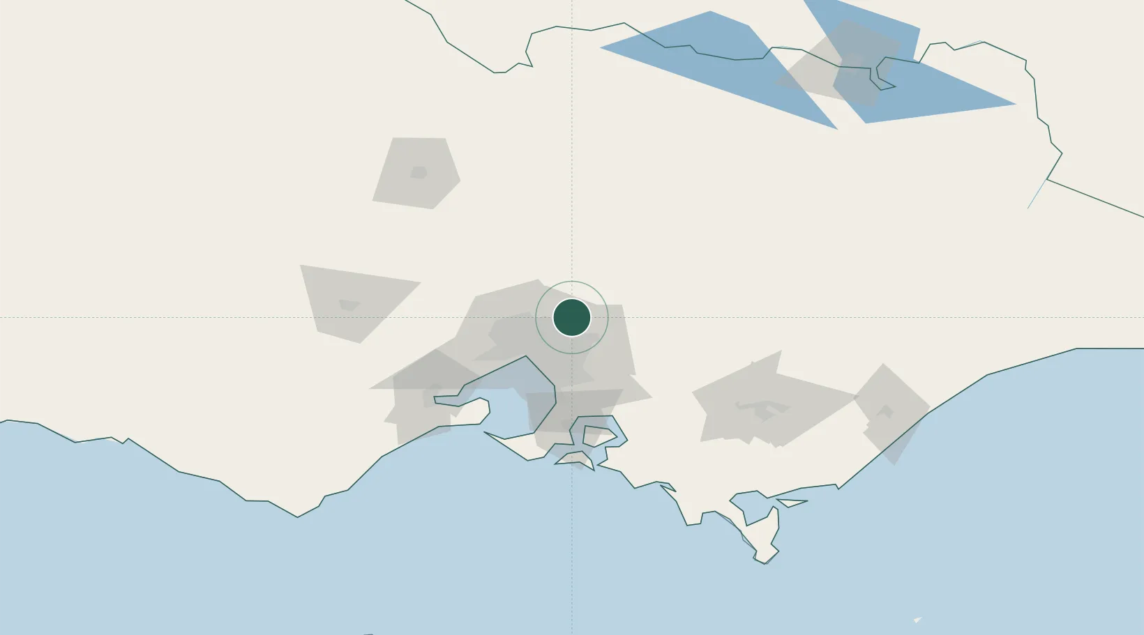
Cottles Bridge
-37.6333°, 145.2167°
564
Population
2
Transport functions
Transport Functions
Port
Multimodal
Hub Profile
Place type
Urban district
Region
Victoria
Population
564
Time zone
Australia/Melbourne
Elevation
137 m
Location
Nearby Logistics Neighbours
Cities
- 1Diamond Creek7 km
- 2Eltham13 km
- 3Yering15 km
- 4Bundoora16 km
- 5Coldstream16 km
Ports
- 1Melbourne31 km
- 2Western Port80 km
- 3Geelong94 km
- 4Welshpool161 km
- 5Warrnambool254 km
Airports
- 1Melbourne Essendon Airport30 km
- 2Melbourne Airport34 km
- 3Melbourne Moorabbin Airport40 km
- 4Melbourne Avalon International Airport80 km
- 5Bendigo Airport127 km
Trade Zones
DatabookThe Record of Consolidated Knowledge
Australia beyond logistics?