Transport Functions
Rail
Road
Hub Profile
Place type
Populated place
Region
Victoria
Population
15,004
Time zone
Australia/Melbourne
Elevation
321 m
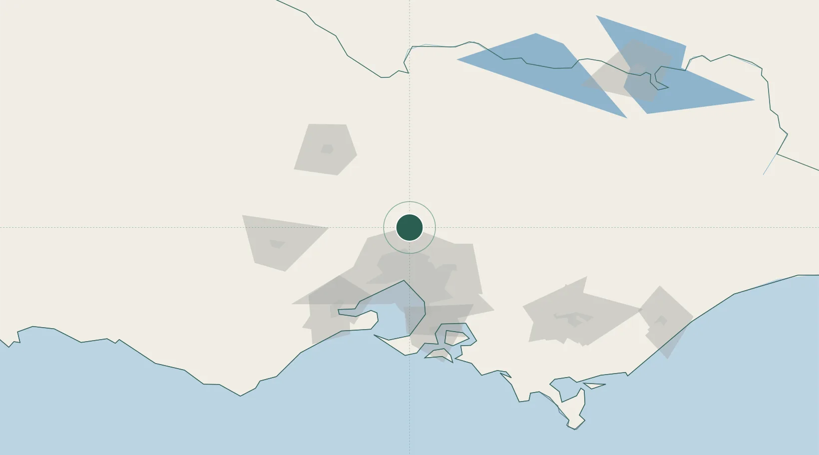
Location
Nearby Logistics Neighbours
Cities
- 1Donnybrook13 km
- 2Craigieburn21 km
- 3Broadford25 km
- 4Somerton27 km
- 5Pheasant Creek28 km
Ports
- 1Melbourne46 km
- 2Geelong98 km
- 3Western Port106 km
- 4Welshpool193 km
- 5Warrnambool245 km
Airports
Trade Zones
DatabookThe Record of Consolidated Knowledge
Australia beyond logistics?