UN/LOCODE hub · Australia
AUPCR
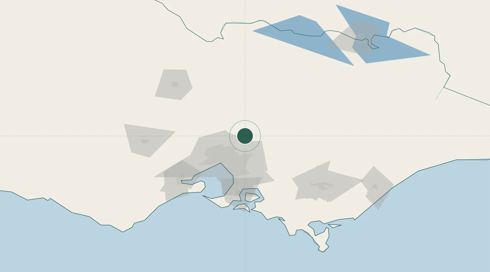
Pheasant Creek
-37.4833°, 145.2833°
302
Population
1
Transport functions
Transport Functions
Multimodal
Hub Profile
Place type
Populated place
Region
Victoria
Population
302
Time zone
Australia/Melbourne
Elevation
538 m
Location
Nearby Logistics Neighbours
Cities
- 1Cottles Bridge18 km
- 2Diamond Creek24 km
- 3Yering25 km
- 4Coldstream27 km
- 5Donnybrook27 km
Ports
- 1Melbourne48 km
- 2Western Port97 km
- 3Geelong109 km
- 4Welshpool170 km
- 5Warrnambool266 km
Airports
Trade Zones
DatabookThe Record of Consolidated Knowledge
Australia beyond logistics?