Transport Functions
Rail
Road
Hub Profile
Place type
Urban district
Region
Victoria
Population
171
Time zone
Australia/Melbourne
Elevation
235 m
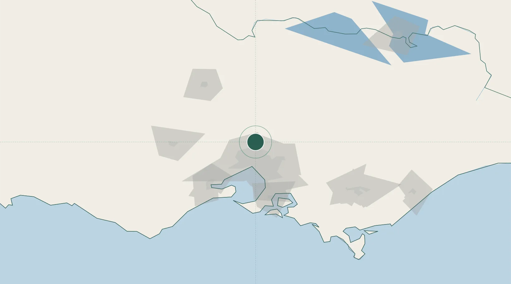
Location
Nearby Logistics Neighbours
Cities
- 1Craigieburn9 km
- 2Wallan13 km
- 3Somerton14 km
- 4Bundoora18 km
- 5Reservoir20 km
Ports
- 1Melbourne33 km
- 2Geelong87 km
- 3Western Port93 km
- 4Welshpool184 km
- 5Warrnambool239 km
Airports
- 1Melbourne Airport20 km
- 2Melbourne Essendon Airport23 km
- 3Melbourne Moorabbin Airport51 km
- 4Melbourne Avalon International Airport72 km
- 5Bendigo Airport106 km
Trade Zones
DatabookThe Record of Consolidated Knowledge
Australia beyond logistics?