Transport Functions
Multimodal
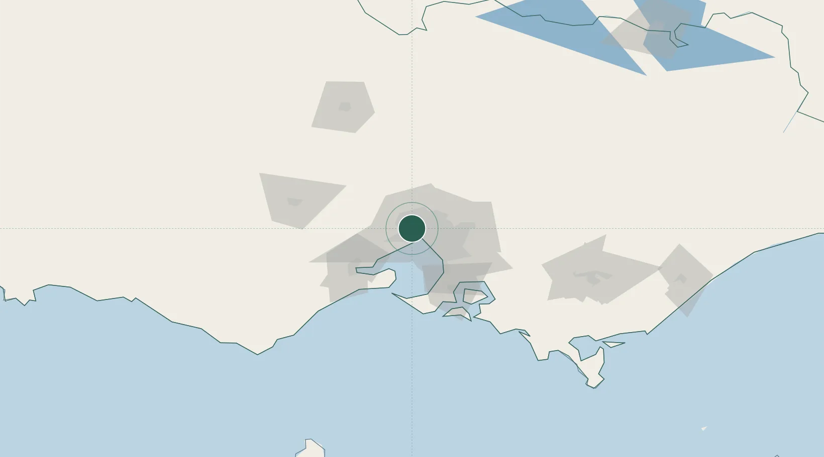
Hub Profile
Place type
Urban district
Region
Victoria
Population
9,389
Time zone
Australia/Melbourne
Elevation
38 m
Location
Nearby Logistics Neighbours
Cities
- 1West Footscray2 km
- 2Maribyrnong3 km
- 3Altona North4 km
- 4Brooklyn4 km
- 5Yarraville/Melbourne5 km
Ports
- 1Melbourne12 km
- 2Geelong59 km
- 3Western Port71 km
- 4Welshpool174 km
- 5Warrnambool218 km
Airports
Trade Zones
DatabookThe Record of Consolidated Knowledge
Australia beyond logistics?