UN/LOCODE hub · Australia
AUSBI
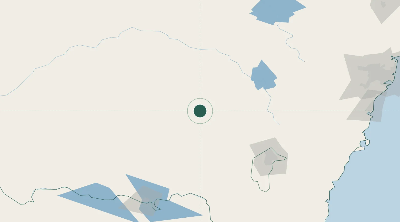
Stockinbingal
-34.5000°, 147.8833°
351
Population
2
Transport functions
Transport Functions
Rail
Road
Hub Profile
Place type
Populated place
Region
New South Wales
Population
351
Time zone
Australia/Sydney
Elevation
298 m
Location
Nearby Logistics Neighbours
Cities
- 1Wallendbeen26 km
- 2Wondalga28 km
- 3Muttama40 km
- 4Harden46 km
- 5Junee49 km
Ports
- 1Batemans Bay247 km
- 2Jervis Bay275 km
- 3Port Kembla278 km
- 4Botany Bay313 km
- 5Sydney313 km
Airports
- 1Cootamundra Airport20 km
- 2Temora Airport35 km
- 3Young Airport43 km
- 4Wagga Wagga Airport83 km
- 5West Wyalong Airport89 km
Trade Zones
DatabookThe Record of Consolidated Knowledge
Australia beyond logistics?