Transport Functions
Rail
Road
Hub Profile
Place type
Populated place
Region
New South Wales
Population
112
Time zone
Australia/Sydney
Elevation
288 m
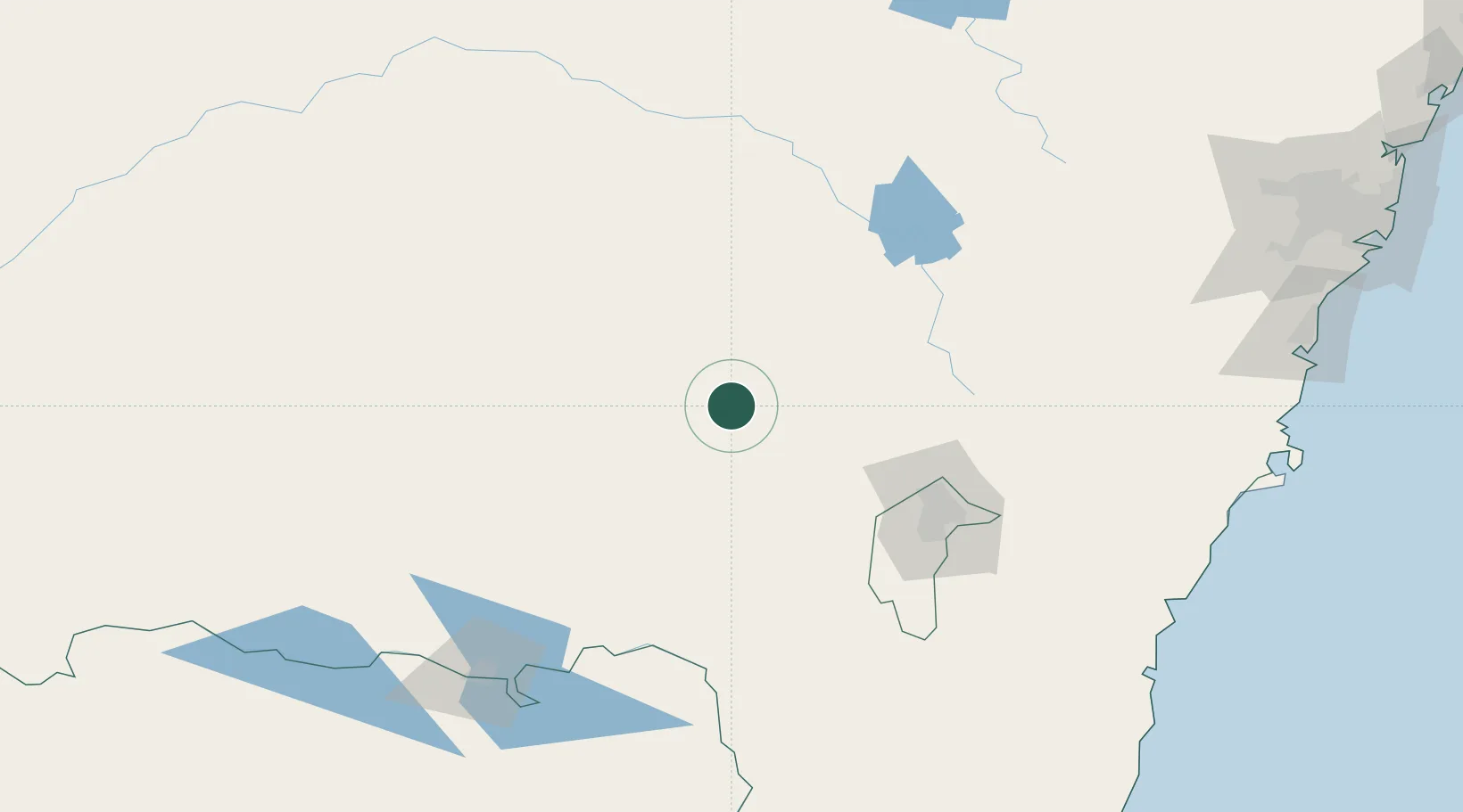
Location
Nearby Logistics Neighbours
Cities
- 1Gundagai30 km
- 2Wallendbeen30 km
- 3Harden37 km
- 4Stockinbingal40 km
- 5Wondalga43 km
Ports
- 1Batemans Bay211 km
- 2Jervis Bay247 km
- 3Port Kembla259 km
- 4Botany Bay300 km
- 5Eden300 km
Airports
- 1Cootamundra Airport21 km
- 2Tumut Aerodrome53 km
- 3Young Airport62 km
- 4Temora Airport70 km
- 5Wagga Wagga Airport72 km
Trade Zones
DatabookThe Record of Consolidated Knowledge
Australia beyond logistics?