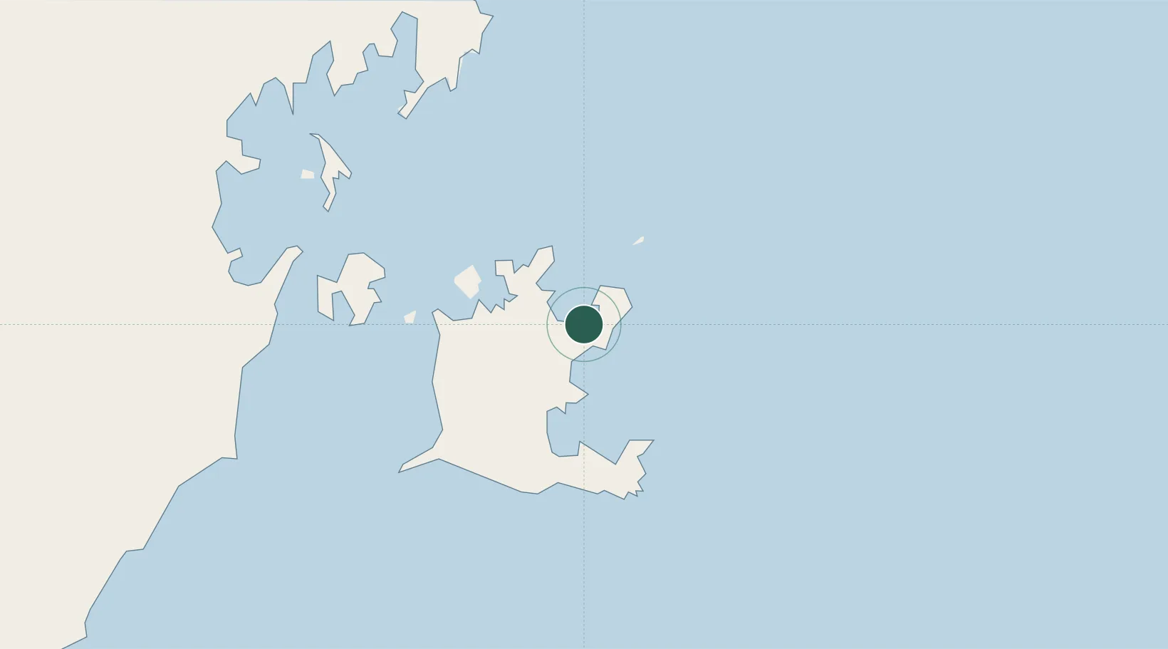
UN/LOCODE hub · Australia
AUUMB

Umbakumba

-13.8500°, 136.8000°
1
Transport functions

Transport Functions

Port
UN/LOCODE

Hub Profile

Region
NT
GeoNames

Location

Location of AUUMB
Natural Earth 10m (public domain) · NT · AUUMB · -13.85, 136.80GoogleOSMYandex

Nearby Logistics Neighbours

Cities
  1. 1Gove Harbour182 km
  2. 2Nhulunbuy185 km
  3. 3Bing Bong201 km
  4. 4Elizabeth Bay219 km
  5. 5Langarra252 km
Nearest neighbours — logibook spatial index (haversine) over the source coordinates
Ports
  1. 1Milner Bay41 km
  2. 2Gove184 km
  3. 3Weipa564 km
  4. 4Karumba591 km
  5. 5Darwin662 km
Nearest neighbours — logibook spatial index (haversine) over the source coordinates
Airports
  1. 1Groote Eylandt Airport39 km
  2. 2Gove Airport176 km
  3. 3Lake Evella Airport185 km
  4. 4Ngukurr Airport242 km
  5. 5Elcho Island Airport243 km
Nearest neighbours — logibook spatial index (haversine) over the source coordinates
Trade Zones
  1. 1Western Province Special Economic Zone852 km
  2. 2Ihu Special Economic Zone1148 km
  3. 3Sandaun Special Economic Zone1187 km
  4. 4Sepik Special Economic Zone1209 km
  5. 5Paga Hill Estate Special Economic Zone1226 km
Nearest neighbours — logibook spatial index (haversine) over the source coordinates
DatabookThe Record of Consolidated Knowledge
Australia beyond logistics?
Browse databook

All Sources

LocationsUN/LOCODE
UN/LOCODE — free
Portsthe NGA World Port Index
Public domain (US gov)
AirportsOurAirports
Public domain
Trade Zonesthe World Bank SEZ database
CC BY 4.0
Trade ZonesOpen Zone Map
CC BY
← Australia locations