Medium airport · Australia
Gove AirportYPGV
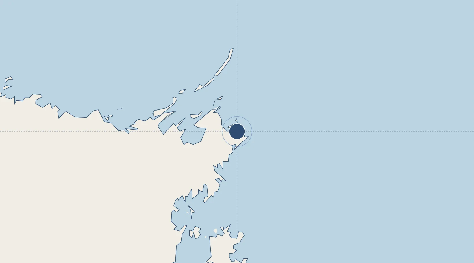
-12.2694°, 136.8180°
7,244 ft
Longest runway
1
Runways
192 ft
Elevation
Runway & Layout

Radio Frequencies
CTAF
127.8 MHz
FSS
125 MHz
BRISBANE CNTR
Navaids
GV VOR-DME Gove 114.10 MHz
GV NDB Gove 380 kHz
Runways · 1
| Runway | Dimensions | Surface | True heading | Lit |
|---|---|---|---|---|
| 13/31 | 7,244 × 148ft | Asphalt | 130° | ✓ |
Airport Specifications
IATA code
GOV
ICAO code
YPGV
Airport class
Medium airport
Scheduled service
Yes
Runway surface
Asphalt
Served city
Nhulunbuy
Location
Nearby Logistics Neighbours
Airports
- 1Lake Evella Airport113 km
- 2Elcho Island Airport138 km
- 3Groote Eylandt Airport193 km
- 4Ramingining Airport209 km
- 5Milingimbi Airport210 km
Cities
- 1Nhulunbuy10 km
- 2Gove Harbour18 km
- 3Elizabeth Bay50 km
- 4Langarra161 km
- 5Umbakumba176 km
Ports
- 1Gove15 km
- 2Milner Bay183 km
- 3Weipa550 km
- 4Merauke574 km
- 5Thursday Island618 km
Trade Zones
DatabookThe Record of Consolidated Knowledge
Australia beyond logistics?