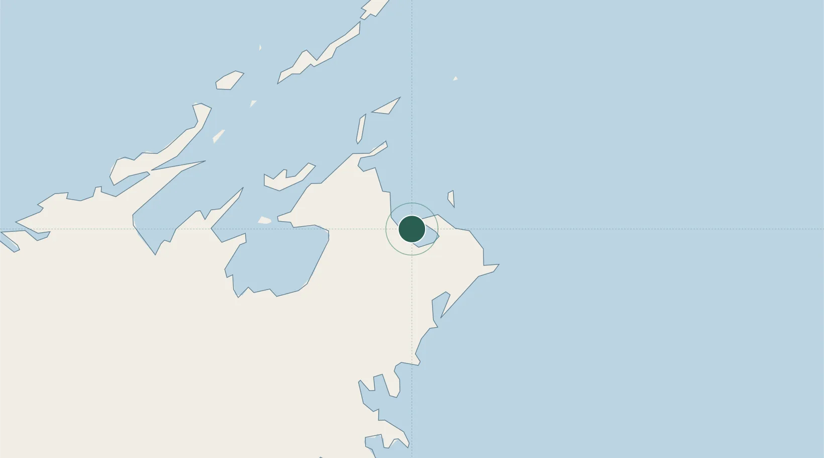
UN/LOCODE hub · Australia
AUGOH

Gove Harbour

-12.2167°, 136.6667°
1
Transport functions

Transport Functions

Port
UN/LOCODE

Hub Profile

Region
NT
GeoNames

Location

Location of AUGOH
Natural Earth 10m (public domain) · NT · AUGOH · -12.22, 136.67GoogleOSMYandex

Nearby Logistics Neighbours

Cities
  1. 1Nhulunbuy13 km
  2. 2Elizabeth Bay37 km
  3. 3Langarra144 km
  4. 4Dhipirrinjura172 km
  5. 5Umbakumba182 km
Nearest neighbours — logibook spatial index (haversine) over the source coordinates
Ports
  1. 1Gove4 km
  2. 2Milner Bay186 km
  3. 3Weipa567 km
  4. 4Merauke581 km
  5. 5Thursday Island632 km
Nearest neighbours — logibook spatial index (haversine) over the source coordinates
Airports
  1. 1Gove Airport18 km
  2. 2Lake Evella Airport99 km
  3. 3Elcho Island Airport121 km
  4. 4Ramingining Airport193 km
  5. 5Milingimbi Airport193 km
Nearest neighbours — logibook spatial index (haversine) over the source coordinates
Trade Zones
  1. 1Western Province Special Economic Zone700 km
  2. 2Sandaun Special Economic Zone1029 km
  3. 3Sepik Special Economic Zone1057 km
  4. 4Ihu Special Economic Zone1069 km
  5. 5Vanimo Special Economic Zone1175 km
Nearest neighbours — logibook spatial index (haversine) over the source coordinates
DatabookThe Record of Consolidated Knowledge
Australia beyond logistics?
Browse databook

All Sources

LocationsUN/LOCODE
UN/LOCODE — free
Portsthe NGA World Port Index
Public domain (US gov)
AirportsOurAirports
Public domain
Trade Zonesthe World Bank SEZ database
CC BY 4.0
Trade ZonesOpen Zone Map
CC BY
← Australia locations