Transport Functions
Port
Hub Profile
Place type
Populated place
Region
Northern Territory
Population
3,350
Time zone
Australia/Darwin
Elevation
48 m
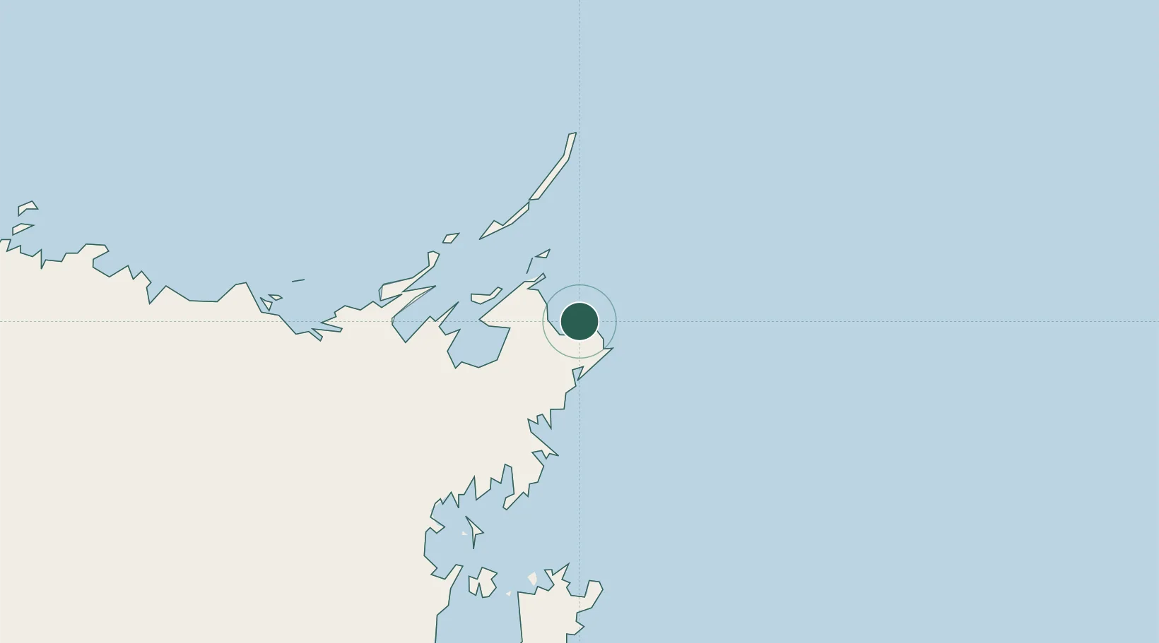
Location
Nearby Logistics Neighbours
Cities
- 1Gove Harbour13 km
- 2Elizabeth Bay41 km
- 3Langarra156 km
- 4Dhipirrinjura185 km
- 5Umbakumba185 km
Ports
- 1Gove9 km
- 2Milner Bay191 km
- 3Weipa555 km
- 4Merauke570 km
- 5Thursday Island618 km
Airports
- 1Gove Airport10 km
- 2Lake Evella Airport112 km
- 3Elcho Island Airport133 km
- 4Groote Eylandt Airport202 km
- 5Milingimbi Airport206 km
Trade Zones
DatabookThe Record of Consolidated Knowledge
Australia beyond logistics?