Transport Functions
Port
Hub Profile
Place type
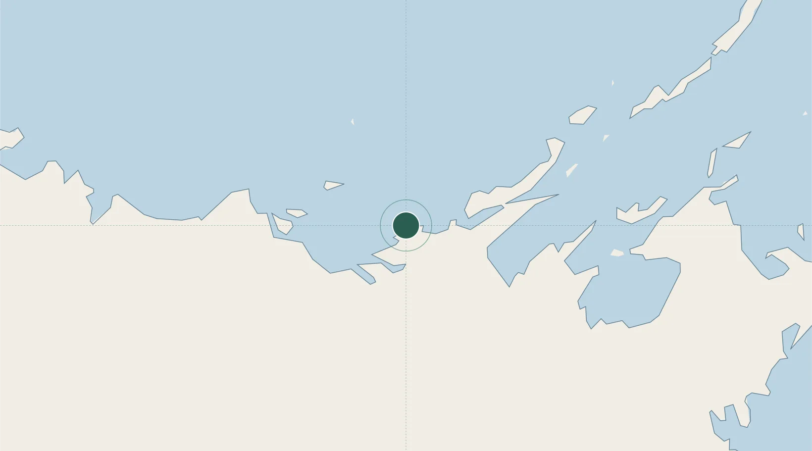
Populated place
Region
Northern Territory
Time zone
Australia/Darwin
Elevation
20 m
Location
Nearby Logistics Neighbours
Cities
- 1Dhipirrinjura34 km
- 2Elizabeth Bay132 km
- 3Gove Harbour144 km
- 4Nhulunbuy156 km
- 5Umbakumba252 km
Ports
- 1Gove147 km
- 2Milner Bay230 km
- 3Darwin491 km
- 4Saumlaki636 km
- 5Merauke681 km
Airports
- 1Elcho Island Airport25 km
- 2Milingimbi Airport50 km
- 3Ramingining Airport58 km
- 4Lake Evella Airport68 km
- 5Maningrida Airport121 km
Trade Zones
- 1Western Province Special Economic Zone776 km
- 2Sandaun Special Economic Zone1090 km
- 3Sepik Special Economic Zone1127 km
- 4Atauro Special Economic Zone1149 km
- 5Ihu Special Economic Zone1194 km
DatabookThe Record of Consolidated Knowledge
Australia beyond logistics?