Medium airport · Australia
Elcho Island AirportYELD
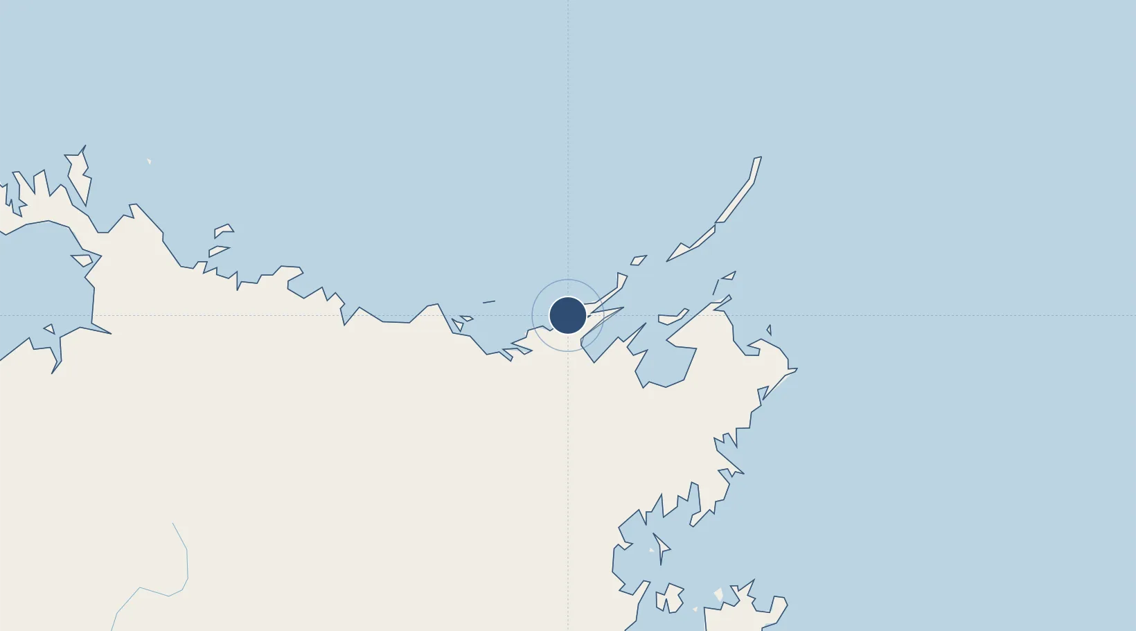
-12.0194°, 135.5710°
4,724 ft
Longest runway
1
Runways
101 ft
Elevation
Runway & Layout

Radio Frequencies
CTAF
127.15 MHz
FSS
123.4 MHz
BRISBANE CNTR
Runways · 1
| Runway | Dimensions | Surface | True heading | Lit |
|---|---|---|---|---|
| 10/28 | 4,724 × 98ft | Asphalt | 099° | ✓ |
Airport Specifications
IATA code
ELC
ICAO code
YELD
Airport class
Medium airport
Scheduled service
Yes
Runway surface
Asphalt
Served city
Elcho Island
Location
Nearby Logistics Neighbours
Airports
- 1Lake Evella Airport59 km
- 2Milingimbi Airport74 km
- 3Ramingining Airport82 km
- 4Gove Airport138 km
- 5Maningrida Airport146 km
Cities
- 1Langarra25 km
- 2Dhipirrinjura59 km
- 3Elizabeth Bay107 km
- 4Gove Harbour121 km
- 5Nhulunbuy133 km
Ports
- 1Gove124 km
- 2Milner Bay225 km
- 3Darwin516 km
- 4Saumlaki648 km
- 5Merauke657 km
Trade Zones
- 1Western Province Special Economic Zone754 km
- 2Sandaun Special Economic Zone1071 km
- 3Sepik Special Economic Zone1107 km
- 4Ihu Special Economic Zone1169 km
- 5Atauro Special Economic Zone1169 km
DatabookThe Record of Consolidated Knowledge
Australia beyond logistics?