UN/LOCODE hub · Australia
AUELB
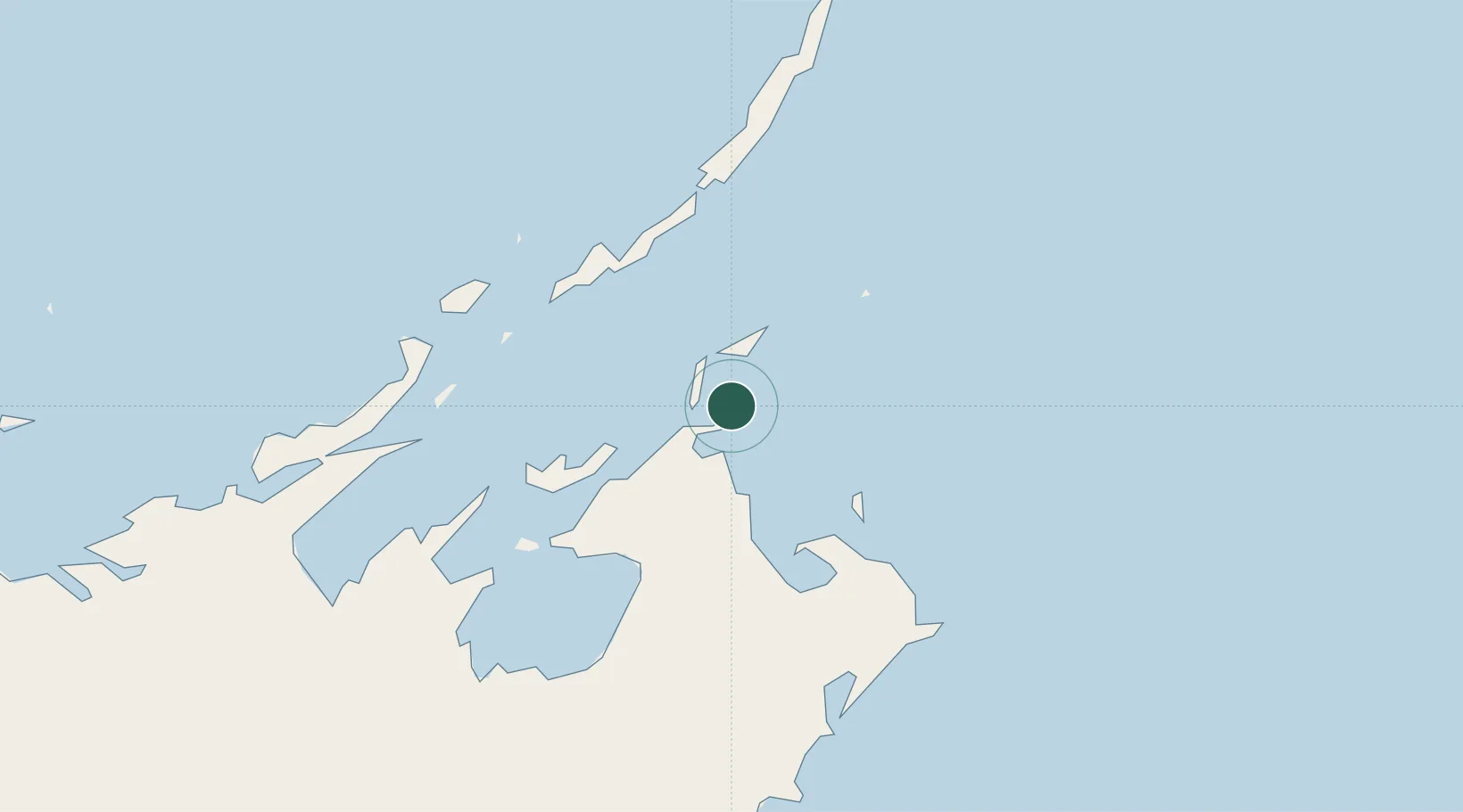
Elizabeth Bay
-11.9000°, 136.5500°
5,270
Population
1
Transport functions
Transport Functions
Port
Hub Profile
Place type
Urban district
Region
New South Wales
Population
5,270
Time zone
Australia/Sydney
Elevation
46 m
Location
Nearby Logistics Neighbours
Cities
- 1Gove Harbour37 km
- 2Nhulunbuy41 km
- 3Langarra132 km
- 4Dhipirrinjura164 km
- 5Umbakumba219 km
Ports
- 1Gove37 km
- 2Milner Bay219 km
- 3Merauke566 km
- 4Weipa584 km
- 5Darwin623 km
Airports
- 1Gove Airport50 km
- 2Lake Evella Airport105 km
- 3Elcho Island Airport107 km
- 4Milingimbi Airport181 km
- 5Ramingining Airport187 km
Trade Zones
- 1Western Province Special Economic Zone678 km
- 2Sandaun Special Economic Zone1004 km
- 3Sepik Special Economic Zone1034 km
- 4Ihu Special Economic Zone1065 km
- 5Vanimo Special Economic Zone1149 km
DatabookThe Record of Consolidated Knowledge
Australia beyond logistics?