Medium airport · Australia

Groote Eylandt AirportYGTE
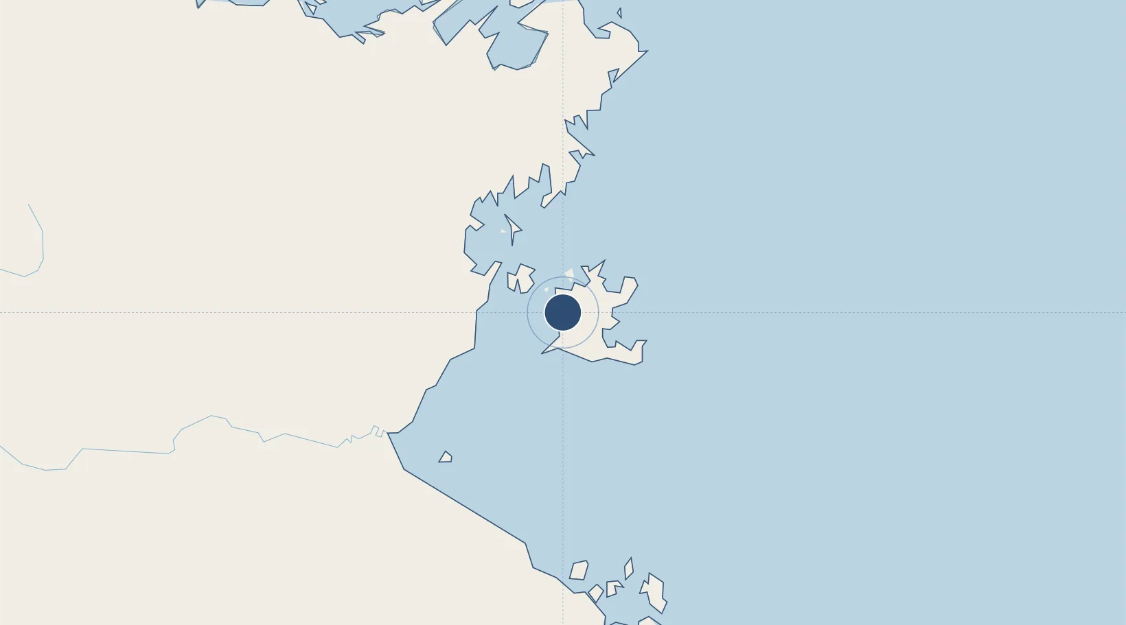
-13.9724°, 136.4586°
6,237 ft
Longest runway
1
Runways
53 ft
Elevation

Runway & Layout

Groote Eylandt Airport runway & taxiway layout
Runway & taxiway layout — OpenStreetMap (ODbL) / OurAirports

Radio Frequencies

CTAF
126 MHz
FSS
122.2 MHz
BRISBANE CNTR
OurAirports

Navaids

GTE NDB-DME Groote Eylandt 0.41 MHz
OurAirports

Runways · 1

RunwayDimensions SurfaceTrue headingLit
10/28 6,237 × 98ft Asphalt 100°
OurAirports

Airport Specifications

IATA code
GTE
OurAirports
ICAO code
YGTE
OurAirports
Airport class
Medium airport
OurAirports
Scheduled service
Yes
OurAirports
Runway surface
Asphalt
OurAirports
Served city
Groote Eylandt
OurAirports

Location

Location of YGTE
Natural Earth 10m (public domain) · Northern Territory · YGTE · -13.97, 136.46GoogleOSMYandex

Nearby Logistics Neighbours

Airports
  1. 1Lake Evella Airport178 km
  2. 2Gove Airport193 km
  3. 3Ngukurr Airport202 km
  4. 4Elcho Island Airport238 km
  5. 5Ramingining Airport247 km
Nearest neighbours — logibook spatial index (haversine) over the source coordinates
Cities
  1. 1Umbakumba39 km
  2. 2Bing Bong181 km
  3. 3Gove Harbour197 km
  4. 4Nhulunbuy202 km
  5. 5Elizabeth Bay231 km
Nearest neighbours — logibook spatial index (haversine) over the source coordinates
Ports
  1. 1Milner Bay13 km
  2. 2Gove199 km
  3. 3Weipa603 km
  4. 4Karumba610 km
  5. 5Darwin630 km
Nearest neighbours — logibook spatial index (haversine) over the source coordinates
Trade Zones
  1. 1Western Province Special Economic Zone880 km
  2. 2Ihu Special Economic Zone1186 km
  3. 3Sandaun Special Economic Zone1214 km
  4. 4Sepik Special Economic Zone1238 km
  5. 5Paga Hill Estate Special Economic Zone1266 km
Nearest neighbours — logibook spatial index (haversine) over the source coordinates
DatabookThe Record of Consolidated Knowledge
Australia beyond logistics?
Browse databook

All Sources

AirportsOurAirports
Public domain
Portsthe NGA World Port Index
Public domain (US gov)
LocationsUN/LOCODE
UN/LOCODE — free
Trade Zonesthe World Bank SEZ database
CC BY 4.0
Trade ZonesOpen Zone Map
CC BY
InfrastructureOpenStreetMap
ODbL 1.0
← Australia airports