Transport Functions
Port
Hub Profile
Region
WA
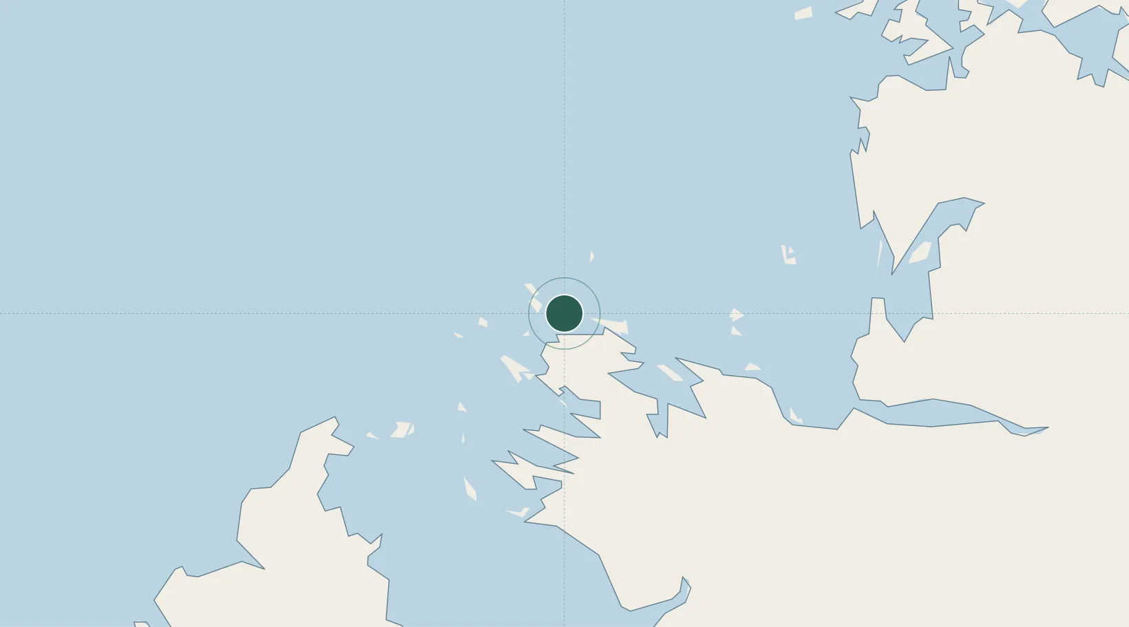
Location
Nearby Logistics Neighbours
Cities
- 1Montara Field339 km
- 2Troughton Island376 km
- 3Challis Venture (oil Terminal)468 km
- 4Blacktip Terminal643 km
- 5Kupang, Timor656 km
Ports
- 1Broome254 km
- 2Wyndham485 km
- 3Kupang660 km
- 4Port Hedland709 km
- 5Waingapu808 km
Airports
- 1Derby Airport142 km
- 2RAAF Base Curtin166 km
- 3Broome International Airport253 km
- 4Fitzroy Crossing Airport310 km
- 5Halls Creek Airport492 km
Trade Zones
DatabookThe Record of Consolidated Knowledge
Australia beyond logistics?