Medium airport · Australia
Derby AirportYDBY
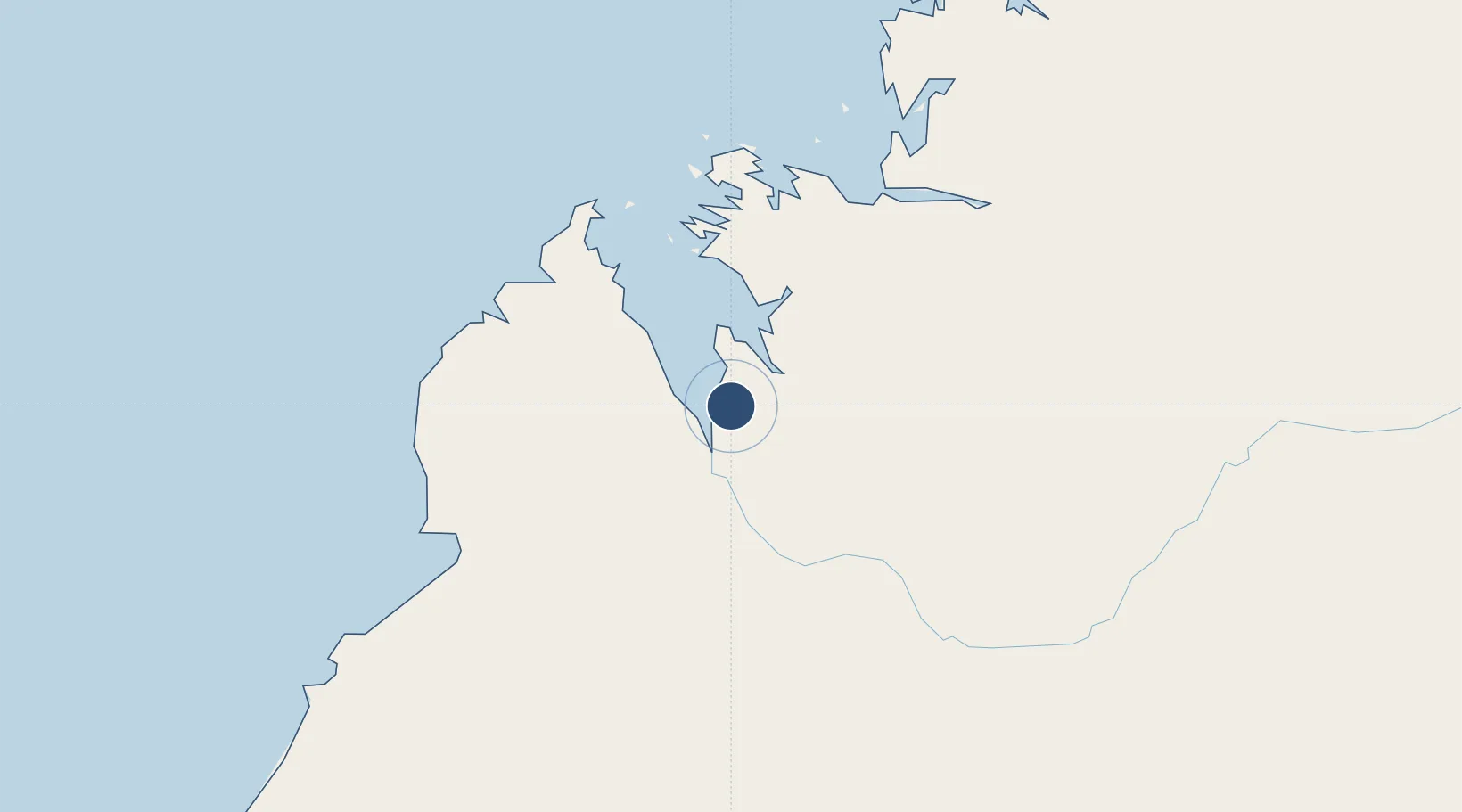
-17.3719°, 123.6622°
5,696 ft
Longest runway
2
Runways
24 ft
Elevation
Runway & Layout

Radio Frequencies
CTAF
126.7 MHz
FSS
122.1 MHz
BRISBANE CNTR
Navaids
DBY NDB Derby 332 kHz
Runways · 2
| Runway | Dimensions | Surface | True heading | Lit |
|---|---|---|---|---|
| 11/29 | 5,696 × 98ft | Asphalt | 111° | ✓ |
| 05/23 | 3,799 × 59ft | Gravel | 056° | ✓ |
Airport Specifications
IATA code
DRB
ICAO code
YDBY
Airport class
Medium airport
Scheduled service
No
Runway surface
Asphalt
Served city
Derby
Location
Nearby Logistics Neighbours
Airports
- 1RAAF Base Curtin29 km
- 2Broome International Airport165 km
- 3Fitzroy Crossing Airport220 km
- 4Halls Creek Airport435 km
- 5Telfer Airport506 km
Cities
- 1Cockatoo Island142 km
- 2Montara Field479 km
- 3Troughton Island482 km
- 4Challis Venture (oil Terminal)602 km
- 5Port Hedland629 km
Ports
- 1Broome165 km
- 2Wyndham519 km
- 3Port Hedland627 km
- 4Port Walcott772 km
- 5Kupang801 km
Trade Zones
DatabookThe Record of Consolidated Knowledge
Australia beyond logistics?